Home› Kanto›Kanagawa
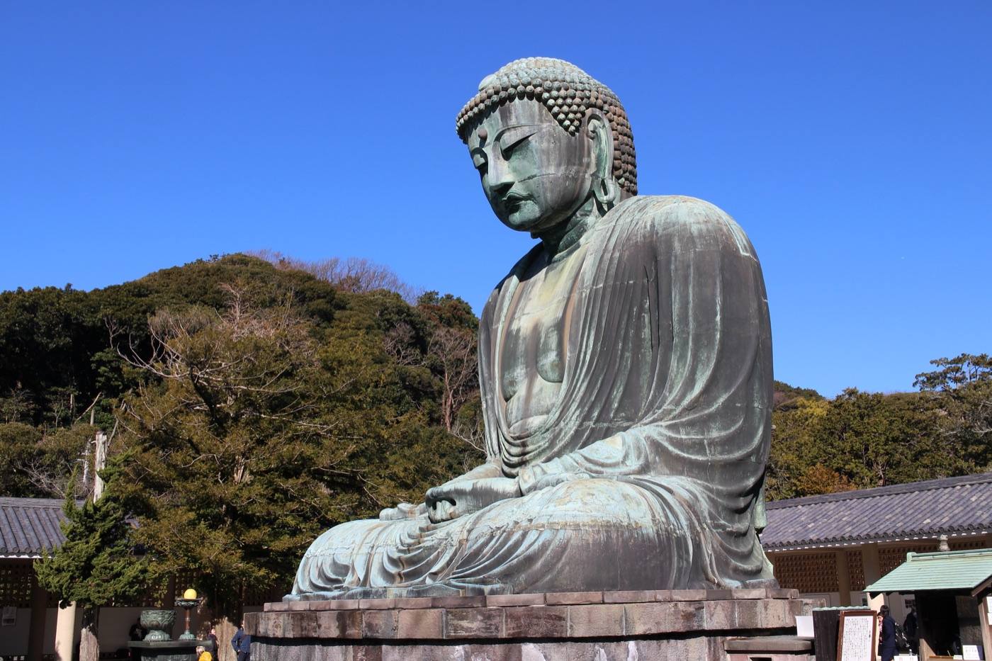
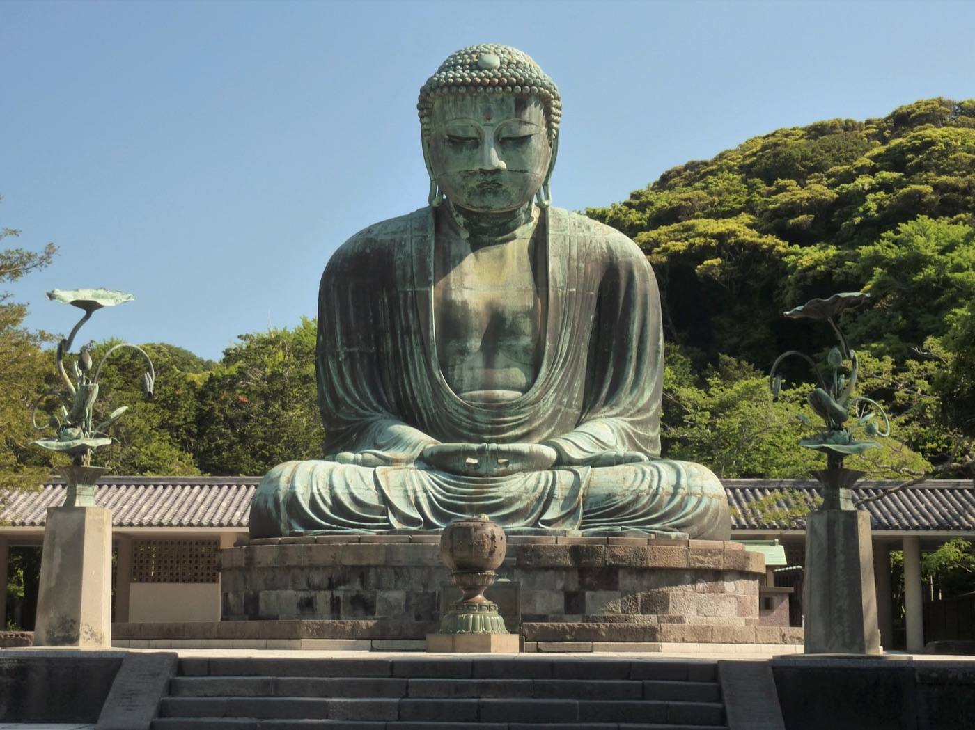
Kamakura Daibutsu

Kanagawa

Kanagawa is where Tokyo goes for the day.

Official site Kanagawa — Visit Kanagawa in English ›

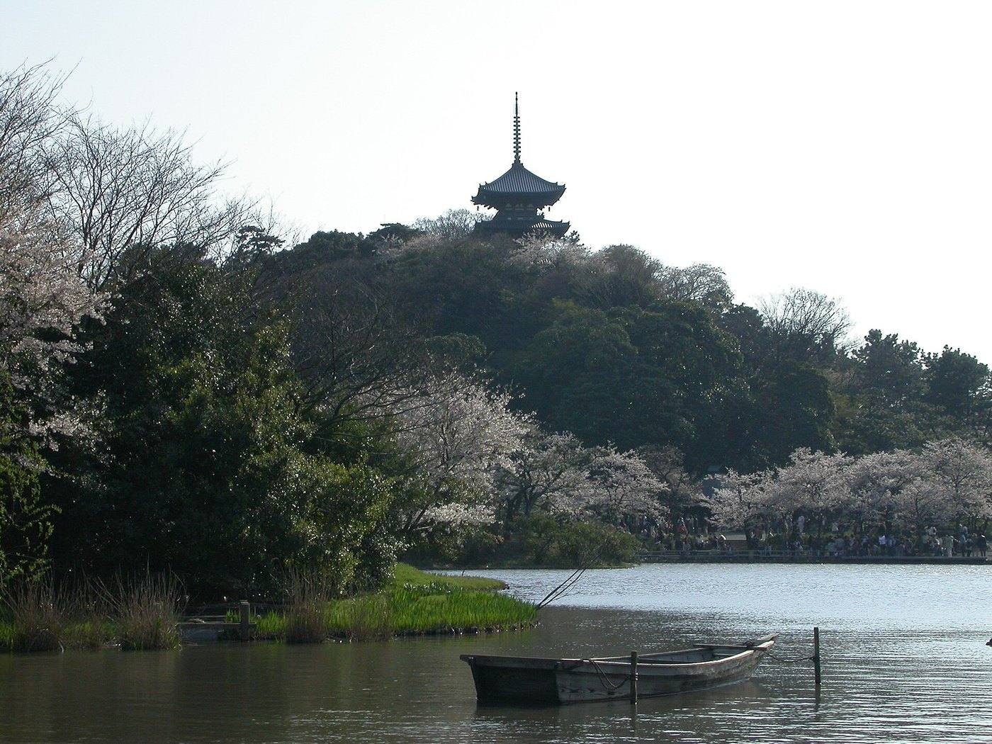
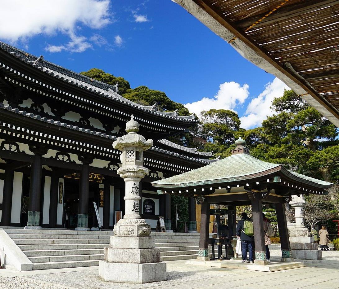
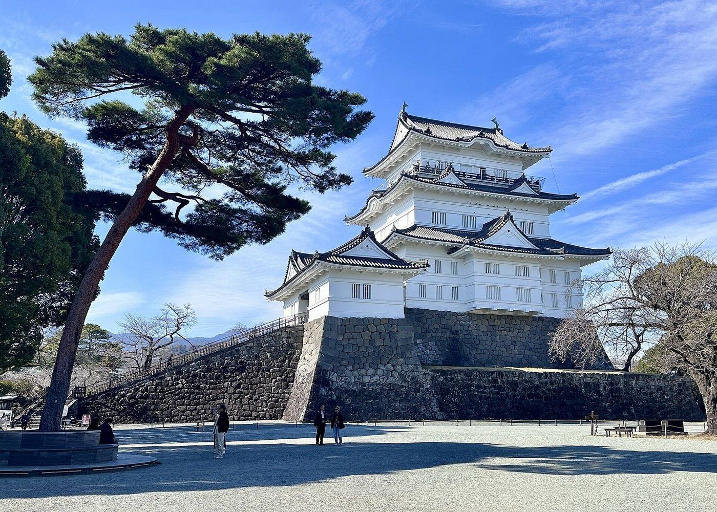
Places to seeWhere to go in Kanagawa

Start with the first of these. Each is worth half a day.
The same five pages on every prefectureEverything about Kanagawa

What Kanagawa is

It is the best-value day trip in Japan — a great Buddha, a hot-spring valley and a view of Mt. Fuji, all within an hour of the capital.

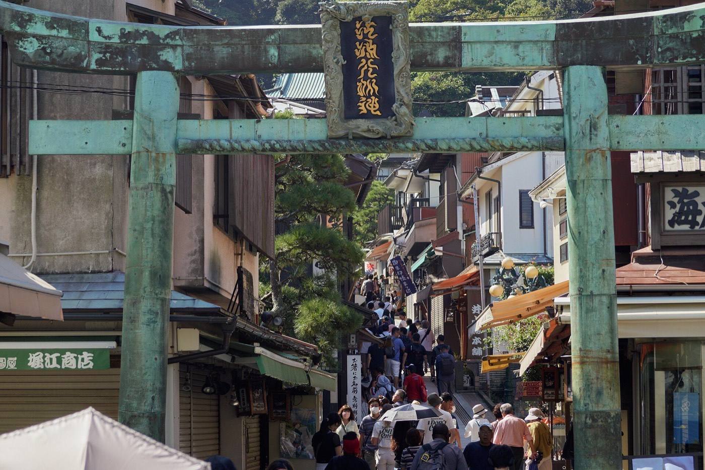
Kamakura was the seat of government eight hundred years ago, and what it kept is temples and a bronze Buddha eleven metres high sitting in the open air — its hall was washed away centuries ago and never rebuilt. A small wooden train runs from there along the coast to Enoshima, an island joined by a bridge.

ArrivingHow to get to Kanagawa

Getting in: No airport of its own — Haneda is 20 min away · Shin-Yokohama Station (shinkansen)

When to comeThe same place, four different places

Pick the season first and the days will arrange themselves.
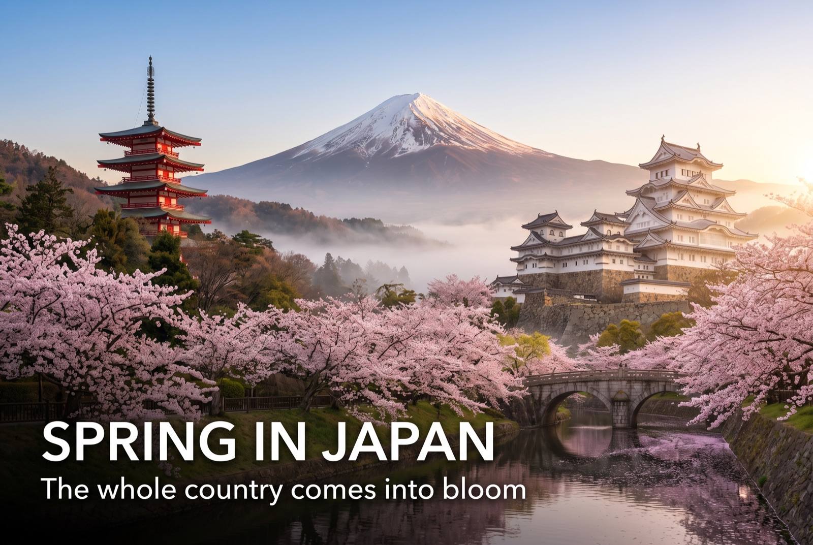
Spring in Japan — seasonal artwork
March – May

Cherry blossom in Kamakura in early April. Hydrangea at the temples from late May.
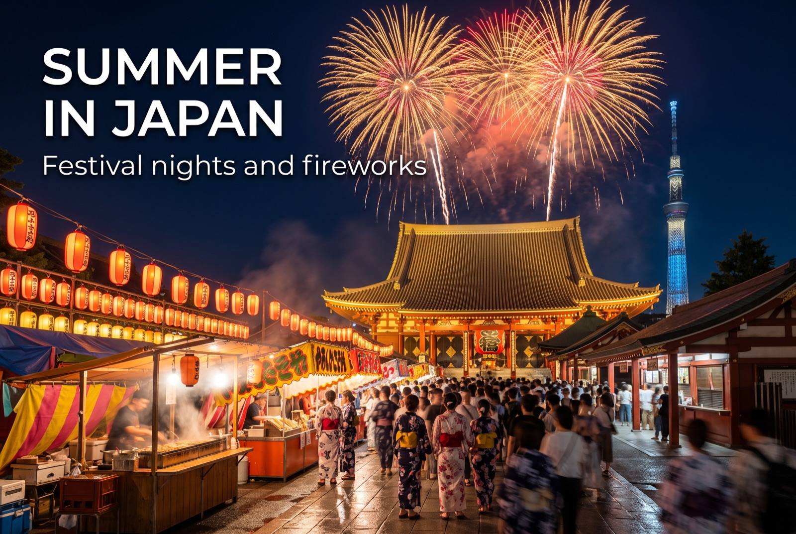
Summer in Japan — seasonal artwork
June – August

Hydrangea in the June rain is the local sight. Hot in August, and the beaches are busy.
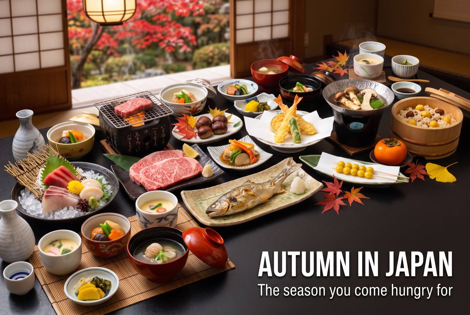
Autumn in Japan — seasonal artwork
September – November

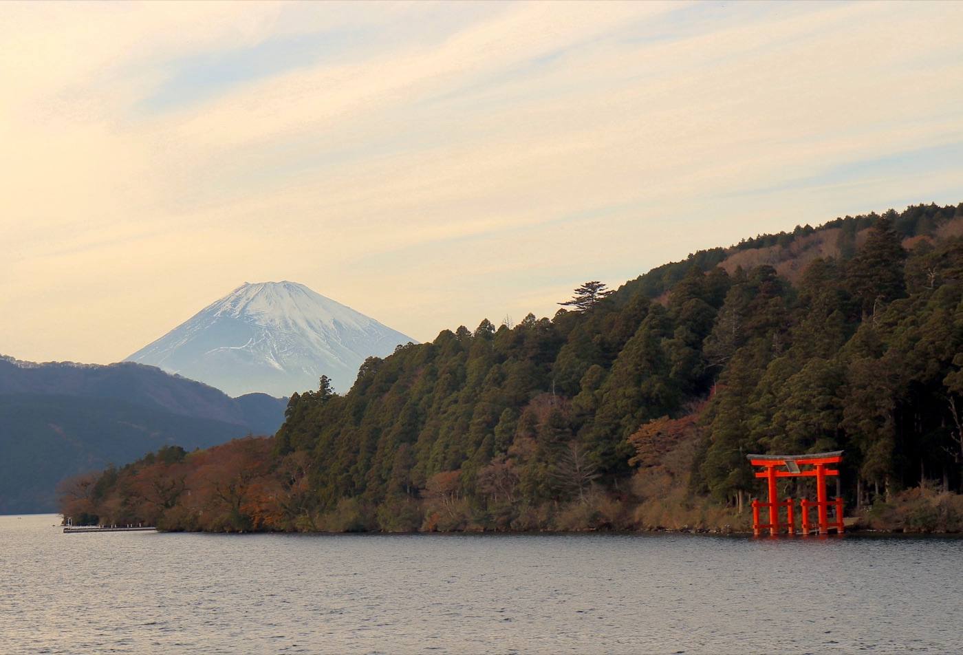
Autumn colour in Hakone through November, and the clearest chance of Fuji from the lake.
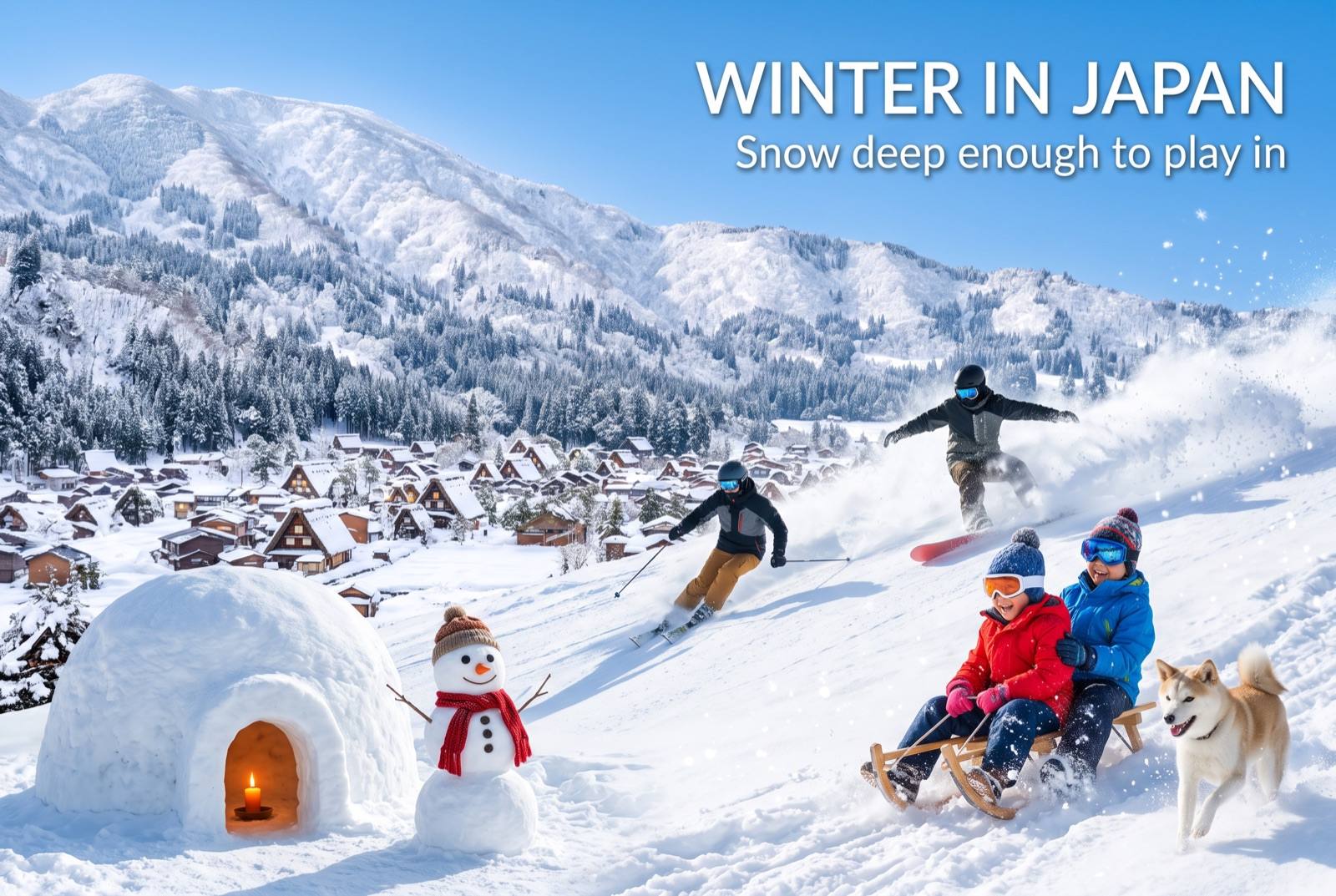
Winter in Japan — seasonal artwork
December – February

Cold and dry. The best months for seeing Mt. Fuji from Hakone, and the baths are at their best.
Where to go nextNowhere in Japan is far from anywhere

Find it fastEverything in Kanagawa

Photo: Kamakura Daibutsu by Suicasmo (CC BY-SA 4.0), via Wikimedia Commons
Photo: Kamakura Daibutsu by Quercus acuta (CC0), via Wikimedia Commons
Photo: Hakone by Ken_Lee (CC BY 4.0), via Wikimedia Commons
Photo: Enoshima by lumoplank (CC0), via Wikimedia Commons
Photo: Yokohama by Insightwm (CC BY-SA 4.0), via Wikimedia Commons
Photo: by 江戸村のとくぞう (CC BY-SA 4.0), via Wikimedia Commons
Photo: by Koichi Shibata (CC BY-SA 3.0), via Wikimedia Commons
Photo: by 663highland (CC BY-SA 4.0), via Wikimedia Commons — cropped to fit
Photo: by Akonnchiroll (CC BY 4.0), via Wikimedia Commons
Photo credits and licences
The map on this page is drawn for Let's! and is not a survey map.
⚲Map ✉Phrases ⚠Emergency