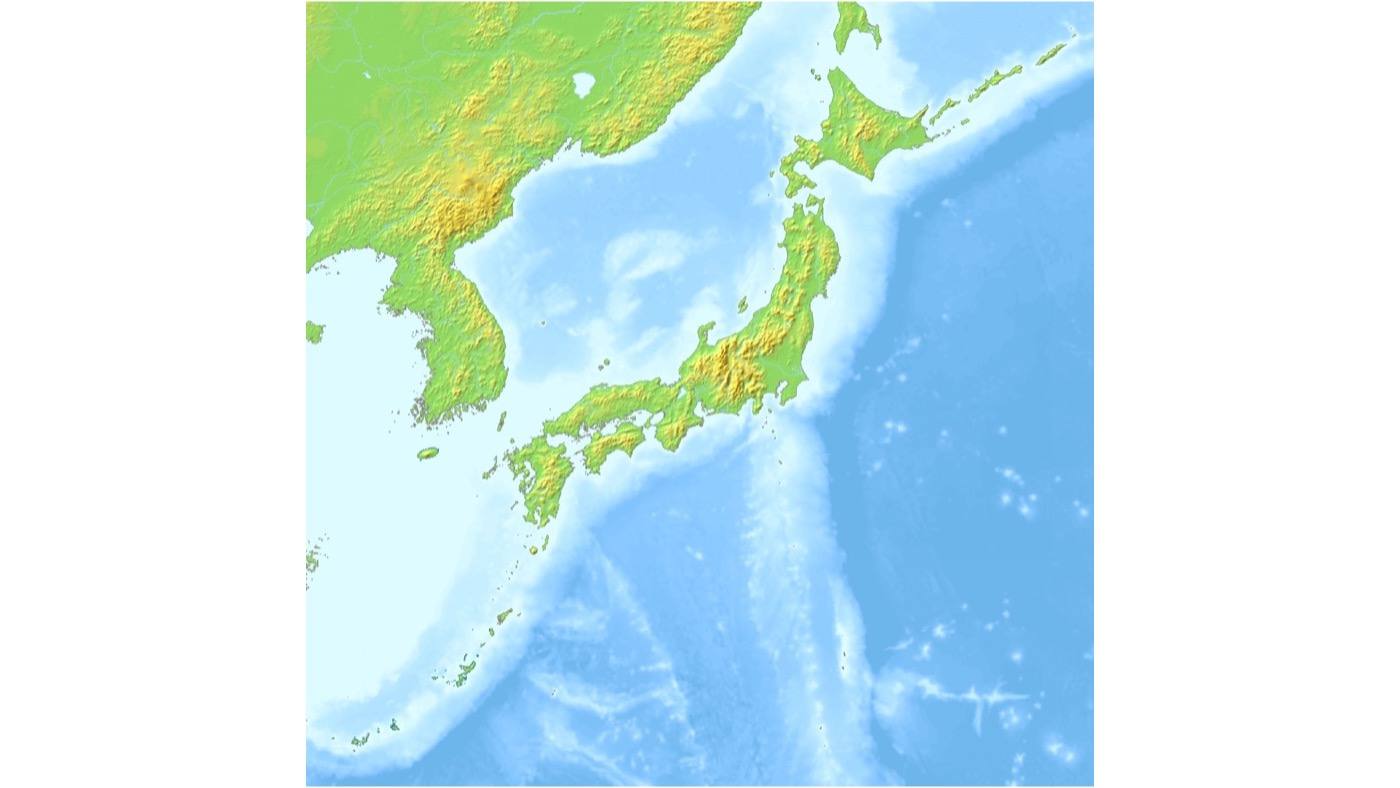
Map of Japan日本全図
Start from the region you land in.
Start from the region you land in.
Japan is a chain of islands about three thousand kilometres long, which is why the north and the south feel like different countries. Cherry blossom takes six weeks to travel from one end to the other, and in early May you can find snow in Hokkaido and swim in Okinawa on the same day.
Almost everyone arrives on Honshu, the main island, which holds Tokyo, Kyoto, Osaka and the Alps. Kyushu is the southern island — volcanoes and hot springs. Shikoku is the small one between them. Hokkaido is the north — snow, farmland and space. Okinawa is a separate chain far to the south, closer to Taiwan than to Tokyo.
The shinkansen network runs the length of Honshu and into Kyushu and Hokkaido, so most of the country is reachable by train. Tokyo to Kyoto is about 2h 15m. Tokyo to Fukuoka is about five hours, or an hour and a half by air.
Give one region a week and come back for the next. Two or three prefectures in ten days will give you more than eight will, because the time you save on trains you spend on stations.
A good first trip is one region plus one contrast: Tokyo and Kyoto, or Kyoto and Kyushu, or Hokkaido on its own.
Every place on this site has a MAP button beside it. It opens that exact place in Google Maps, so you can see where it is, how far it is, and how to get there. Use the real map for distances and directions.
Each region has its own weather, food and pace. These links go to a prefecture that represents it.
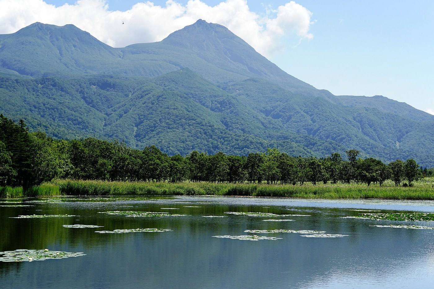
The north island. Snow, seafood, farmland and space. No rainy season.
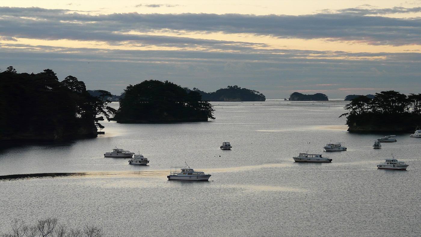
The north of the main island: mountains, hot springs, deep snow, and the last cherry blossom.
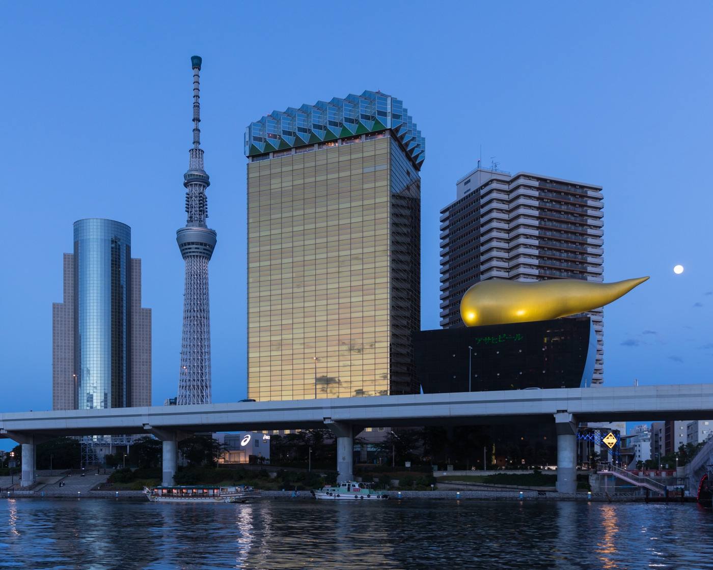
Tokyo and around. The busiest, the best connected, and the easiest to arrive in.
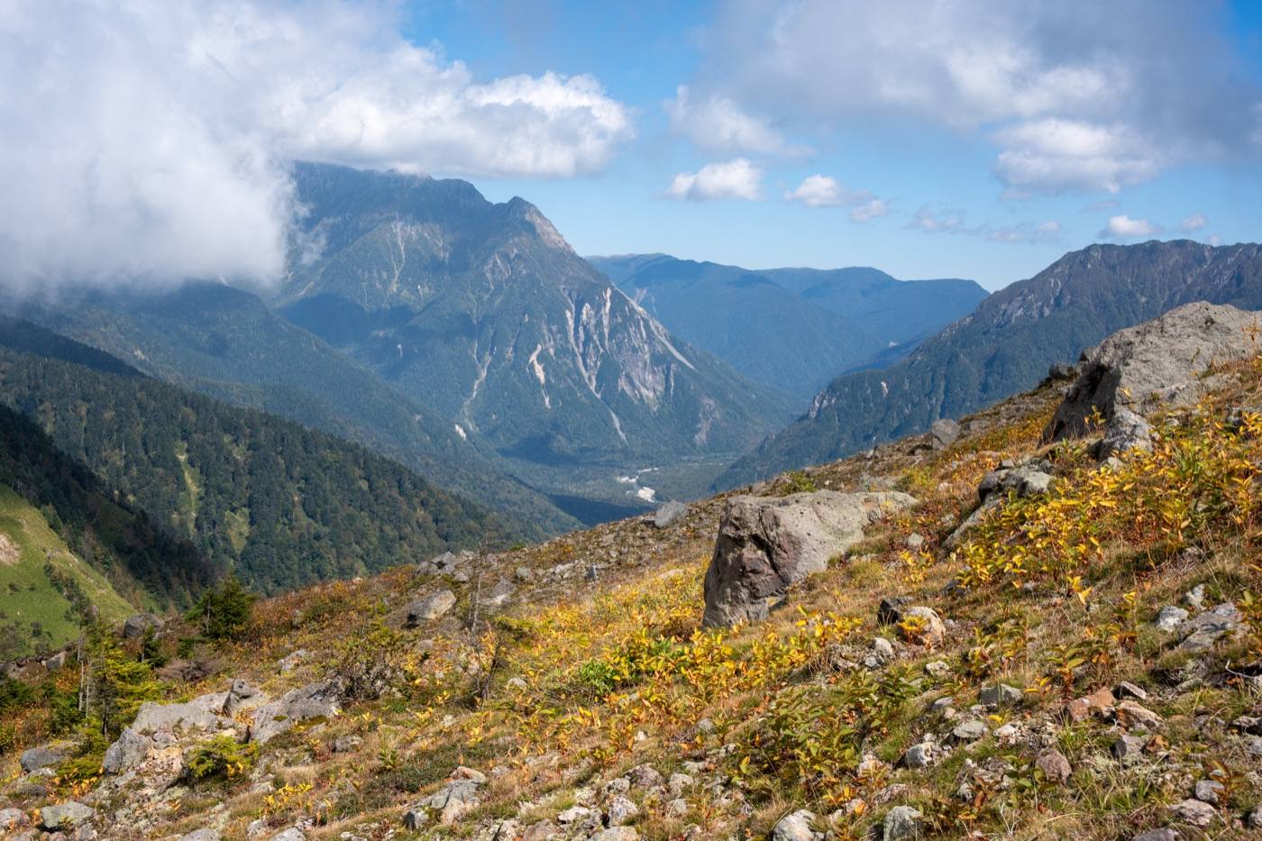
The middle: the Alps, Mt. Fuji, thatched villages and the Japan Sea coast.
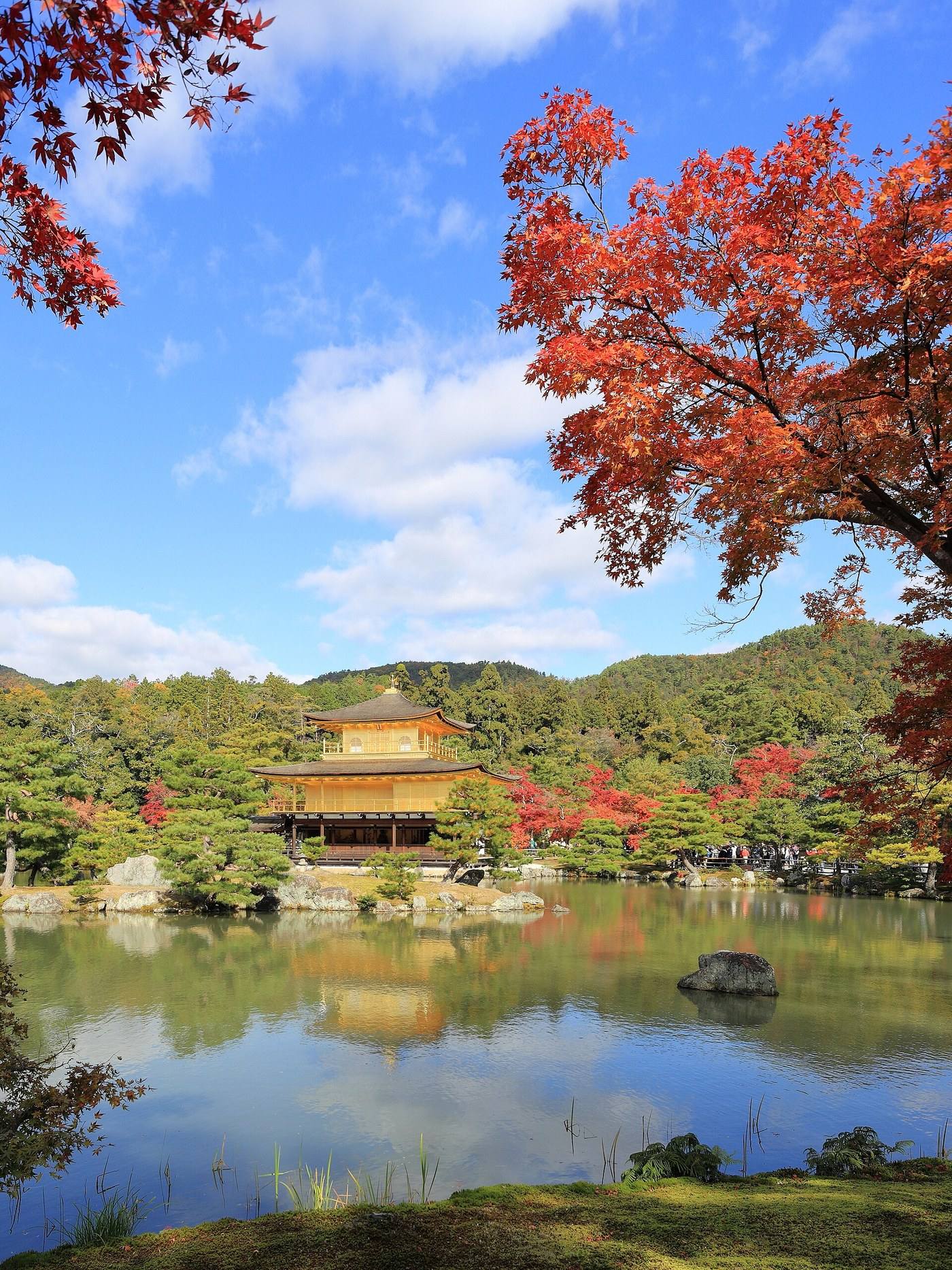
Kyoto, Nara, Osaka, Himeji. The old capitals and the country’s kitchen.
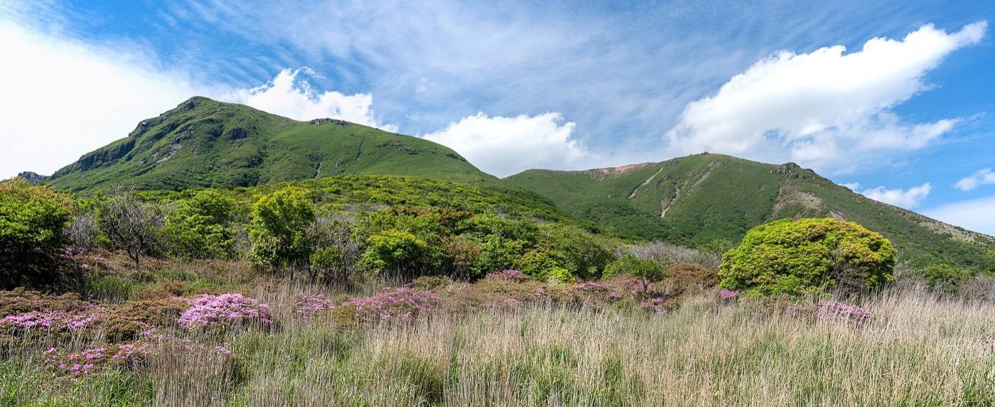
The south: volcanoes, hot springs, food stalls, and coral seas beyond.