Home› Kyushu›Fukuoka
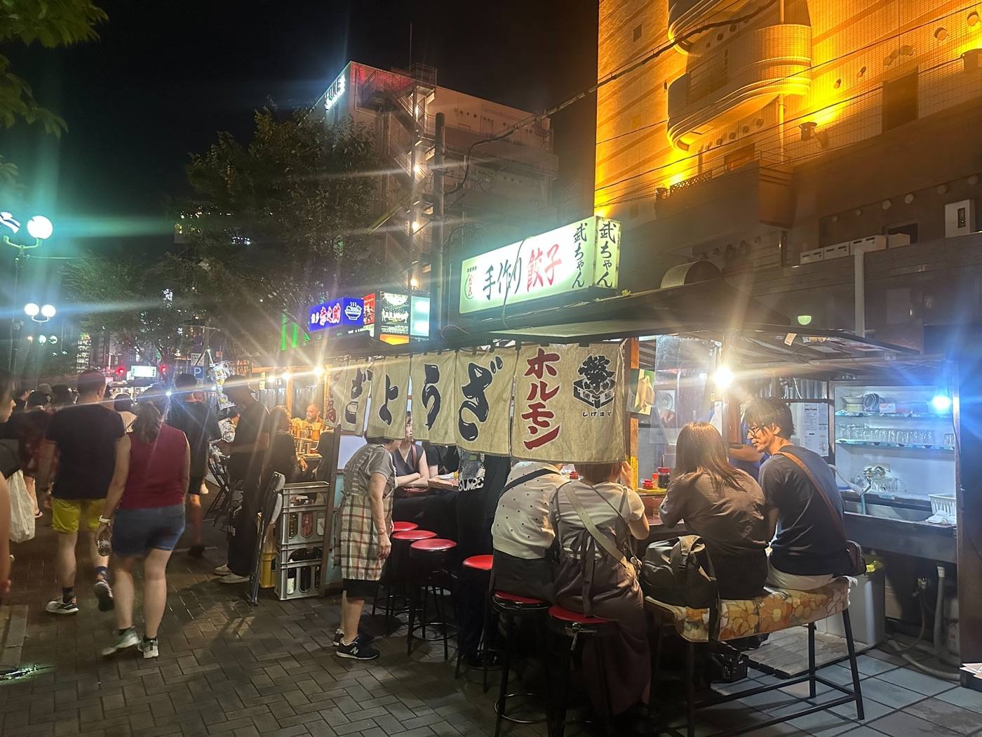
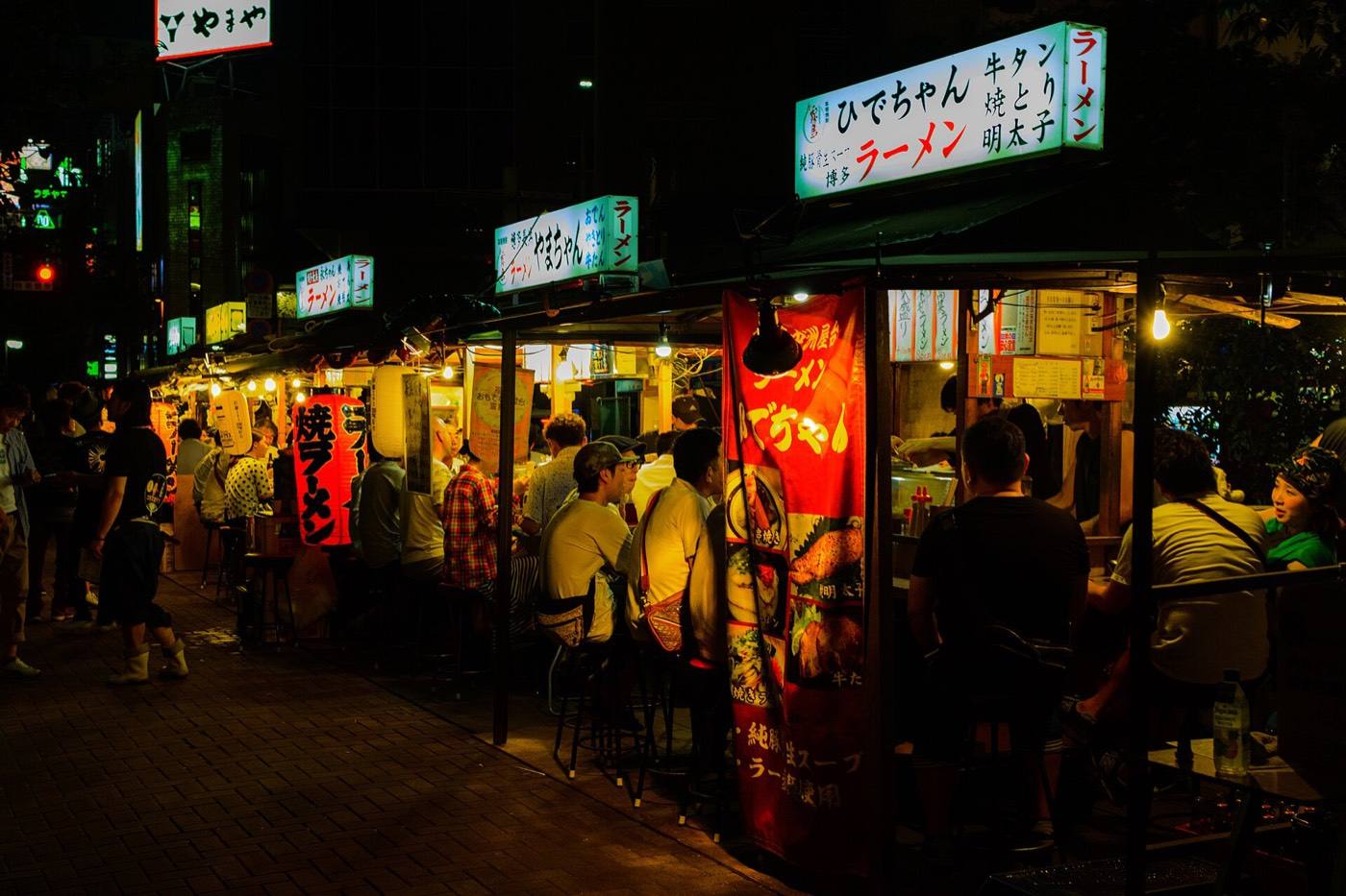
Nakasu yatai

Fukuoka

Fukuoka is the way most people enter Kyushu.

Official site Fukuoka — Crossroad Fukuoka in English ›

Places to seeWhere to go in Fukuoka

Start with the first of these. Each is worth half a day.
The same five pages on every prefectureEverything about Fukuoka

What Fukuoka is

It is the rare Japanese city where the airport is five minutes from the centre by subway. You can land, drop your bag, and be eating within the hour.

What the city is known for is eating outdoors. From early evening, food stalls called yatai open along the river in Nakasu — canvas sides, a counter for eight people, and ramen cooked in front of you. The ramen here, Hakata ramen, is the one the rest of the world copied.

ArrivingHow to get to Fukuoka

Getting in: Fukuoka Airport (5 min to the centre by subway) · Hakata Station (shinkansen)

When to comeThe same place, four different places

Pick the season first and the days will arrange themselves.
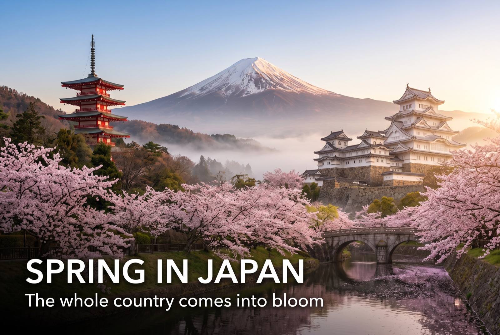
Spring in Japan — seasonal artwork
March – May

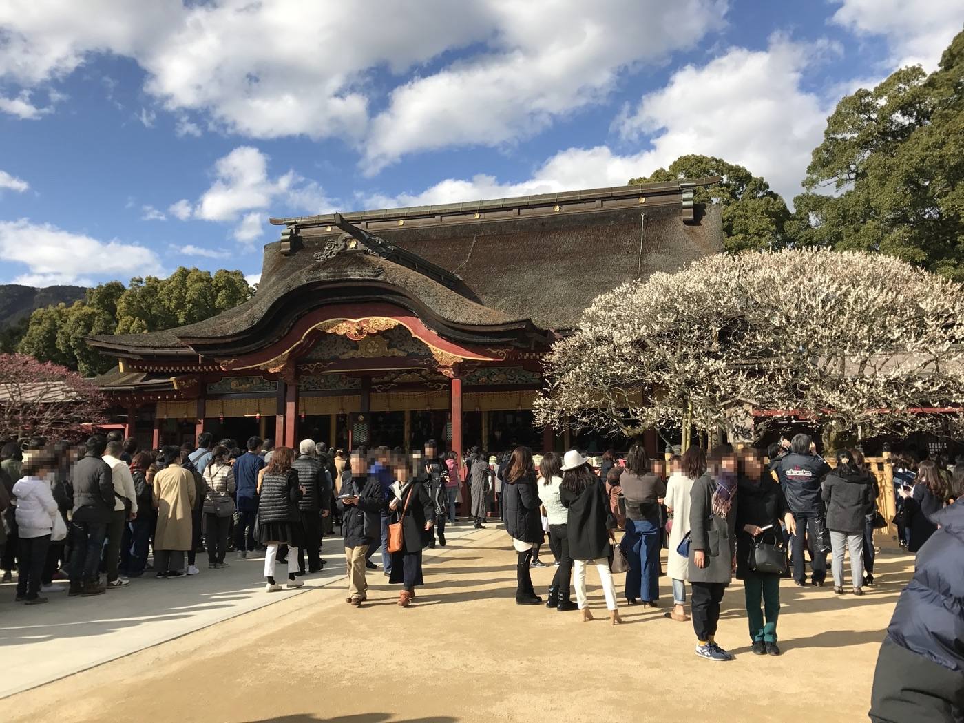
Plum blossom at Dazaifu in late February and March, cherry blossom in early April. The best months to be here.
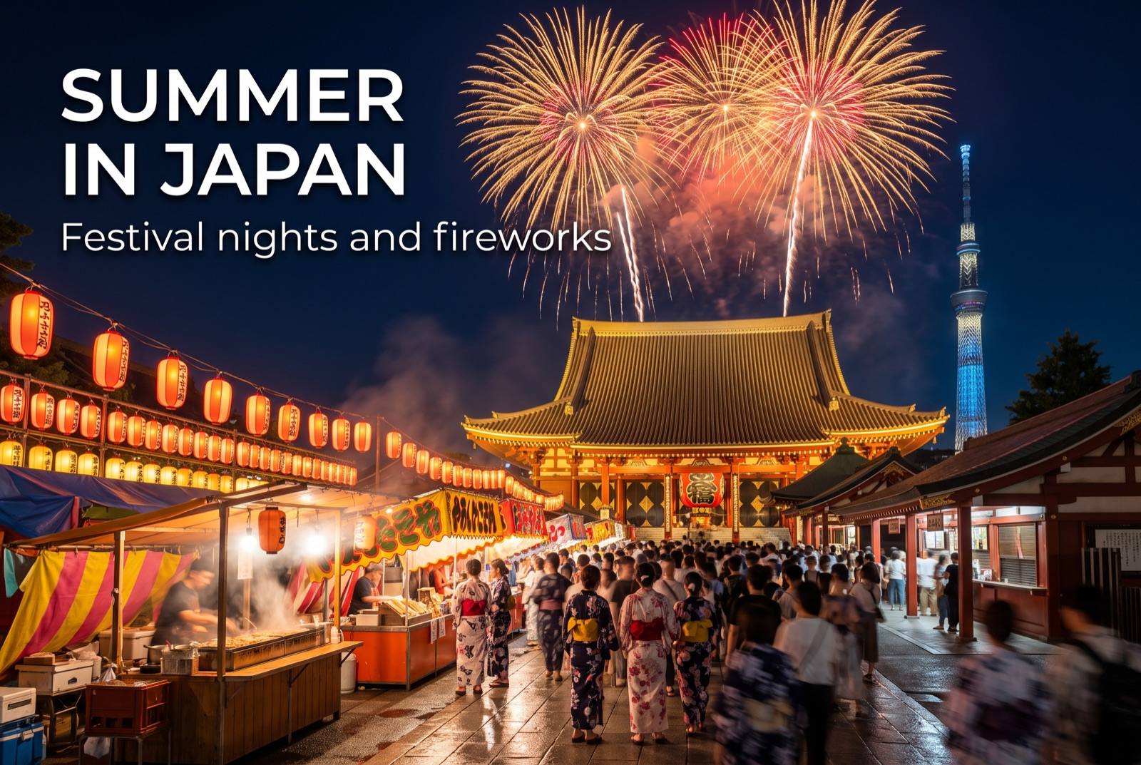
Summer in Japan — seasonal artwork
June – August

Rainy in June, and humid after that. The Yamakasa festival fills the city in July.
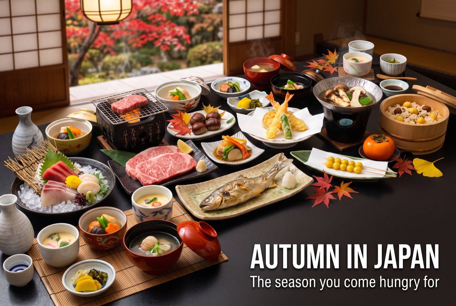
Autumn in Japan — seasonal artwork
September – November

Warm, dry and clear. Good walking weather, and the food stalls are at their best.
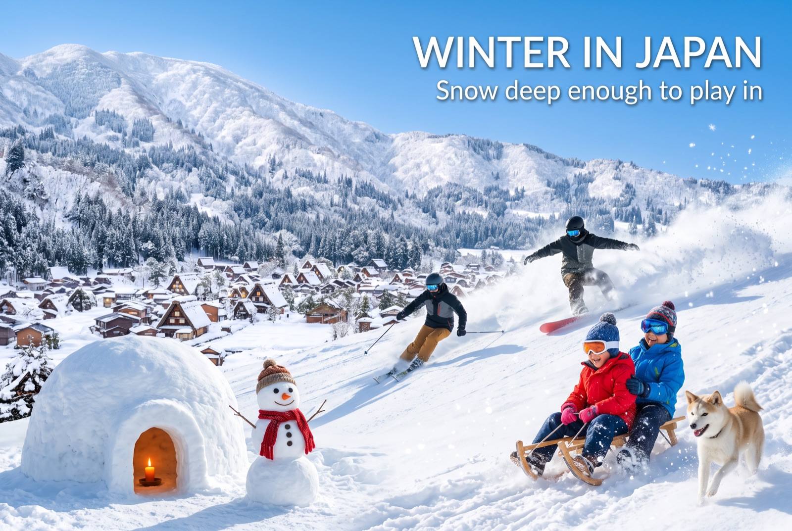
Winter in Japan — seasonal artwork
December – February

Cold but rarely snowy in the city. Ramen weather, and the quietest season for the stalls.
Where to go nextNowhere in Japan is far from anywhere

Find it fastEverything in Fukuoka

Photo: Nakasu yatai by Nesnad (CC BY 4.0), via Wikimedia Commons
Photo: Nakasu yatai by Yoshikazu TAKADA from Tokyo, Japan (CC BY 2.0), via Wikimedia Commons
Photo: Dazaifu Tenmangu by そらみみ (CC BY-SA 4.0), via Wikimedia Commons
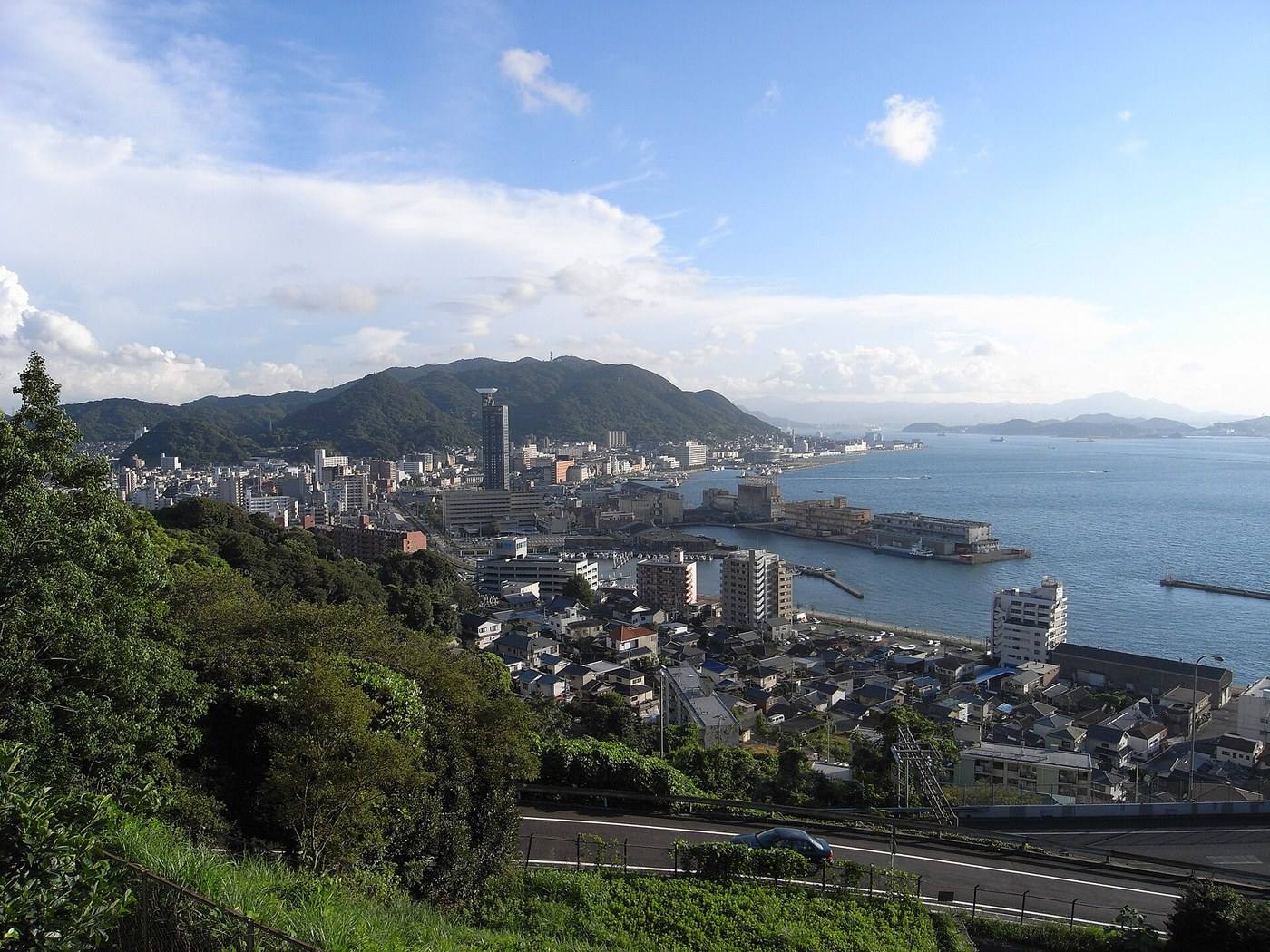
Photo: Mojiko by hinohino (CC BY-SA 3.0), via Wikimedia Commons
Photo: Yanagawa by Fcuk1203 (CC BY-SA 4.0), via Wikimedia Commons
Photo: by Hirho (CC BY-SA 4.0), via Wikimedia Commons
Photo: by _steffen (CC BY-SA 2.0), via Wikimedia Commons
Photo: by wongwt (CC BY-SA 2.0), via Wikimedia Commons
Photo: by そらみみ (Soramimi) (CC BY-SA 4.0), via Wikimedia Commons
Photo credits and licences
The map on this page is drawn for Let's! and is not a survey map.
⚲Map ✉Phrases ⚠Emergency