Home› Special areas›Tokyo: Shibuya and Shinjuku
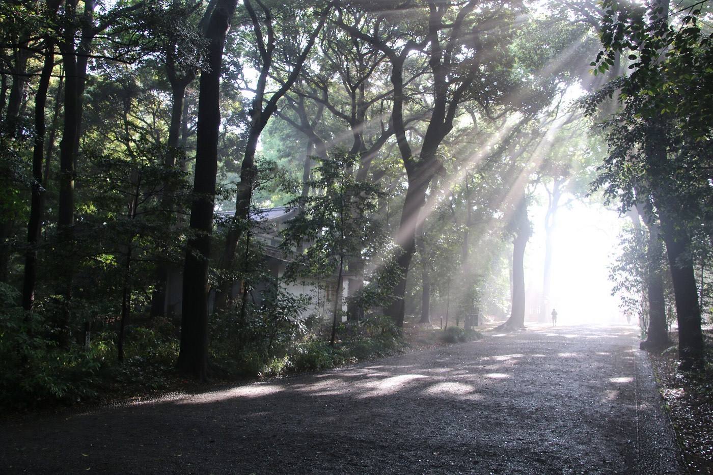
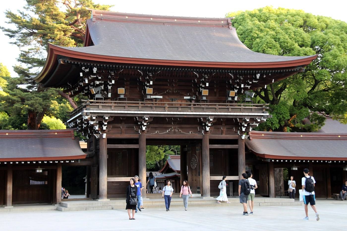
the gate and gravel path at Meiji Shrine

Shibuya and Shinjuku

Two of the biggest green spaces in Tokyo sit between the two busiest stations. A street, then a forest, then a garden.

One day, in this orderThe crossing, the forest, and the garden

Both stations sit beside a green space large enough to lose the city in.

The order that works

09:00 the Shibuya crossing, and the dog who waited · 10:00 Meiji Jingu — a forest of a hundred thousand planted trees · 12:00 Omotesando on foot · 14:00 Shinjuku Gyoen, 58 hectares · 16:30 the free window 202 metres up at the city hall · 18:00 dinner in a six-seat eating house
FirstShibuya, and the forest behind it

The crossing everyone knows, and the statue of Hachiko beside it. Twenty minutes north is a forest that volunteers planted by hand.

The crossing

Best in the rain, seen from above.

Hachiko

The dog waited nine years at this station.

the forest approach to Meiji Jingu
Meiji Jingu

A hundred thousand trees, donated and planted by hand from 1920.

The view from above

Shibuya Sky is an open roof at 229 metres. An hour before sunset gives you the day, the blue hour and the night from one place.

SecondOmotesando, on foot

A one-kilometre avenue of zelkova trees, and a row of buildings by named architects. It runs from the shrine down to Shibuya, so the walk joins the two.

ThirdShinjuku Gyoen, and a free window

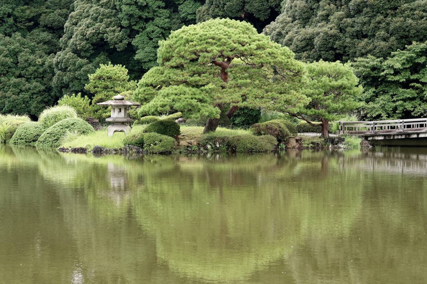
Fifty-eight hectares, ten minutes from the busiest station in the world. Three gardens in one: an English lawn, a French avenue, and a Japanese pond garden.

Entry
A small charge
Closed
Mondays, in most weeks
Best weeks
Early April for blossom, late November for colour
Time needed
Ninety minutes to walk it once
the lawns of Shinjuku Gyoen below the towers
The lawn

Towers on three sides, grass in the middle.

The free window

202 metres up at the city hall, and it costs nothing. Fuji on clear winter days.

Six-seat eating houses

Grilled skewers in lanes beside the station.

Which prefecture is this in?Where to plan the rest of your trip

A place can be better known than the prefecture it sits in. Use the prefecture pages below to work out where to eat, where to stay, how to get around and who to call.

Where to go next

Photo: by くろふね (CC BY 4.0), via Wikimedia Commons
Photo: Chureito Pagoda by Ximonic (Simo Räsänen) (CC BY-SA 4.0), via Wikimedia Commons
Photo: by 雑用部 (CC BY-SA 4.0), via Wikimedia Commons
Photo: by Hyppolyte de Saint-Rambert (CC BY-SA 4.0), via Wikimedia Commons
Photo: by Jakub Hałun (CC BY 4.0), via Wikimedia Commons
Photo: by Dirk Beyer (CC BY-SA 3.0), via Wikimedia Commons
Photo credits and licences
Maps on this site are drawn for Let's! and are not survey maps.
⚲Map ✉Phrases ⚠Emergency