Home› Chugoku›Hiroshima
Itsukushima Shrine

Hiroshima

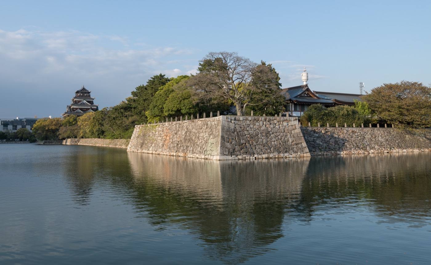
Hiroshima has two things almost everyone comes for, and they are half an hour apart.

Official site Hiroshima — Dive! Hiroshima in English ›

Places to seeWhere to go in Hiroshima

Start with the first of these. Each is worth half a day.
The same five pages on every prefectureEverything about Hiroshima

What Hiroshima is

One is a shrine gate standing in the sea. The other is a park in the middle of the city.

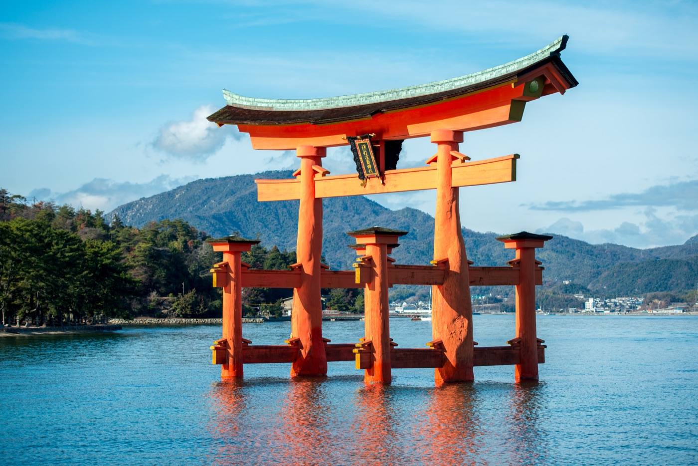
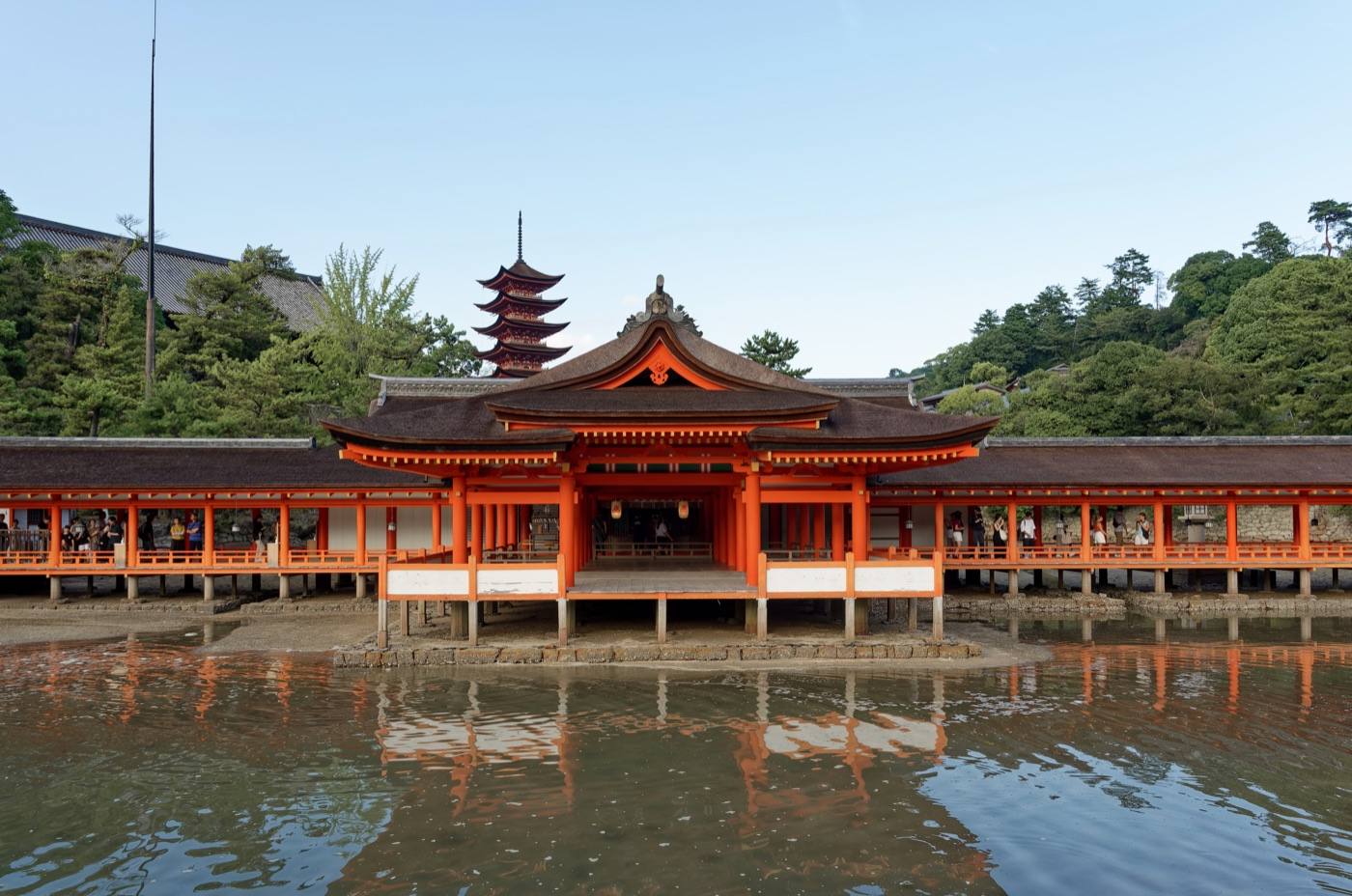
On the island of Miyajima, the great gate of Itsukushima Shrine stands in the water at high tide and on wet sand at low tide. You can walk out to it when the sea has gone. Deer wander the streets of the village. It is a ten-minute ferry, and it is worth staying until the day trippers have gone.

ArrivingHow to get to Hiroshima

Getting in: Hiroshima Airport · Hiroshima Station (shinkansen) · about 1h 40m from Osaka

When to comeThe same place, four different places

Pick the season first and the days will arrange themselves.
Spring in Japan — seasonal artwork
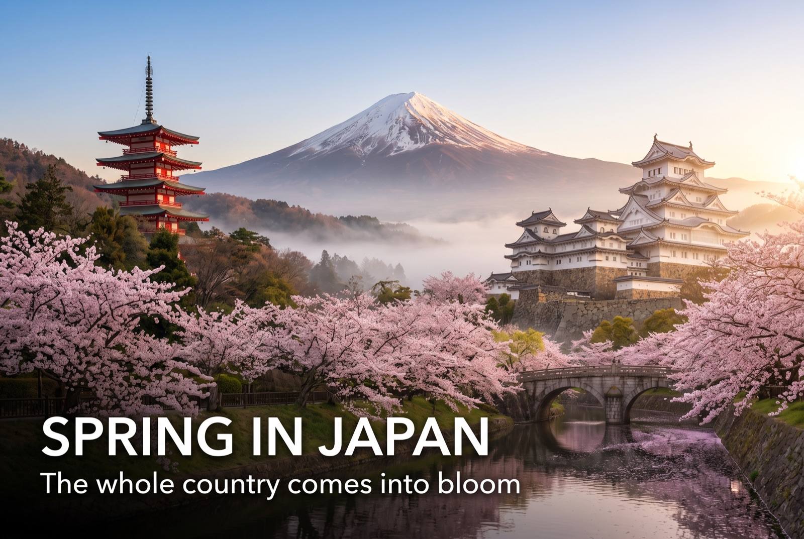
March – May

Cherry blossom on Miyajima in early April, with the deer under the trees. The best season here.
Summer in Japan — seasonal artwork
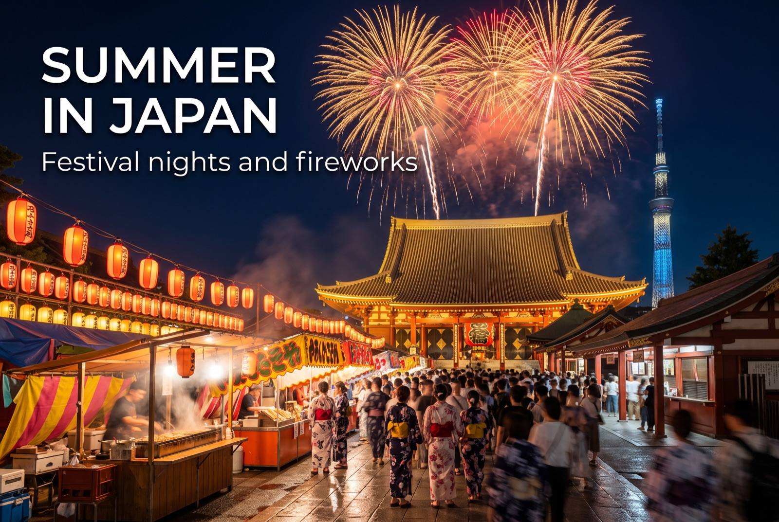
June – August

Wet in June, then hot. The 6th of August is the anniversary, and the city is full.
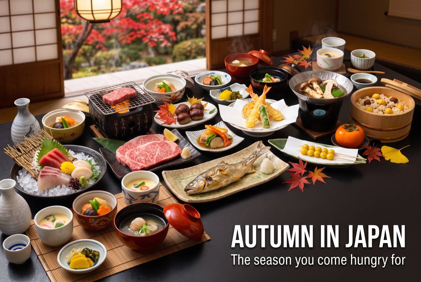
Autumn in Japan — seasonal artwork
September – November

Autumn colour in Momijidani on Miyajima in November. Clear air over the sea.
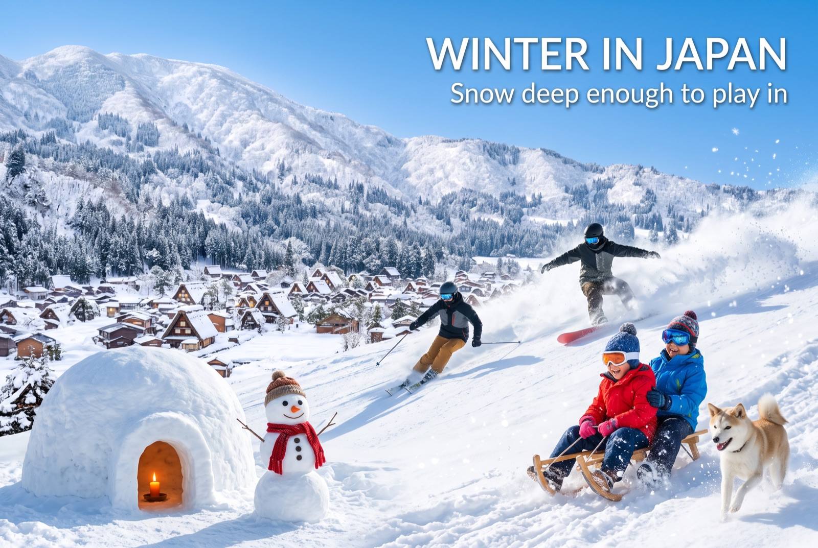
Winter in Japan — seasonal artwork
December – February

Cold but rarely snowy. Oysters are in season, grilled at stalls on the island.
Where to go nextNowhere in Japan is far from anywhere

Find it fastEverything in Hiroshima

Photo: Itsukushima Shrine by JordyMeow (CC BY-SA 3.0), via Wikimedia Commons
Photo: Itsukushima Shrine by Jakub Hałun (CC BY 4.0), via Wikimedia Commons
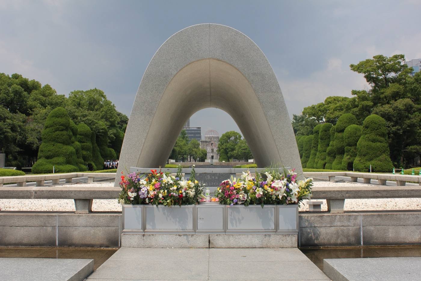
Photo: Peace Memorial Park by TimMilesWright (CC0), via Wikimedia Commons
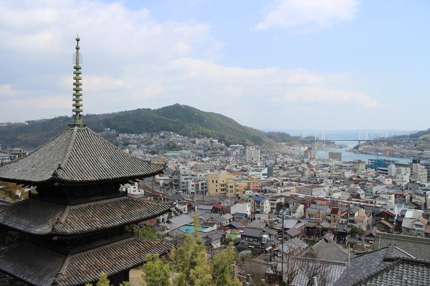
Photo: Onomichi by Suicasmo (CC BY-SA 4.0), via Wikimedia Commons
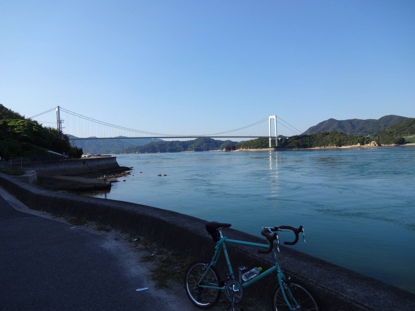
Photo: Shimanami Kaido by Norimasa Hayashida (CC BY 2.0), via Wikimedia Commons
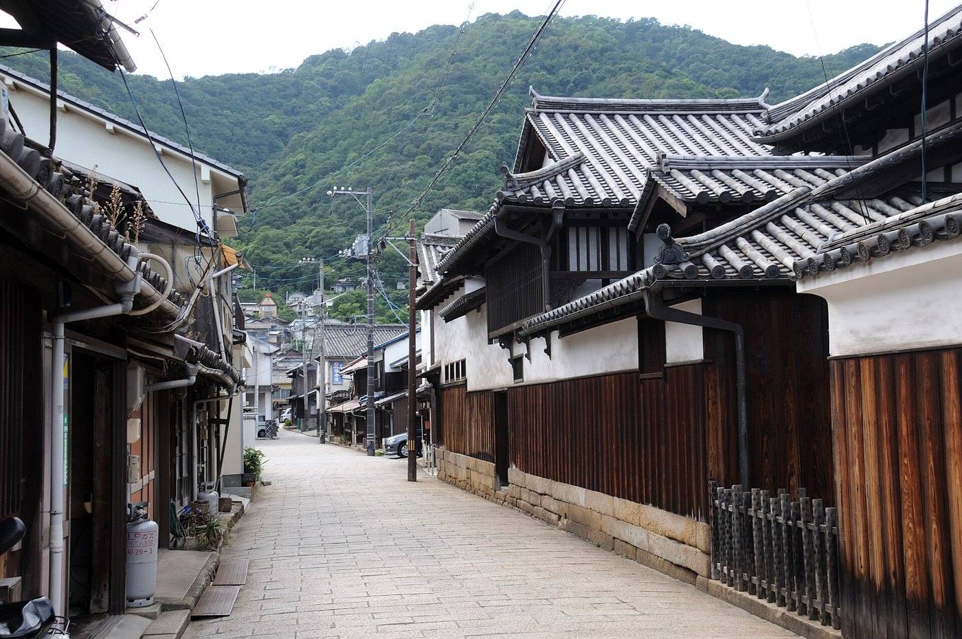
Photo: by Josep M. Gracia (CC BY-SA 4.0), via Wikimedia Commons
Photo: by DXR (CC BY-SA 4.0), via Wikimedia Commons
Photo credits and licences
The map on this page is drawn for Let's! and is not a survey map.
⚲Map ✉Phrases ⚠Emergency