Which prefecture is this in?Where to plan the rest of your trip
A place can be better known than the prefecture it sits in. Use the prefecture pages below to work out where to eat, where to stay, how to get around and who to call.
Volcanoes, grassland and hot springs. Pick up in Fukuoka, clear the city in the first hour, and stay in open country for a week. Four nights at RV Parks, three at hotels.
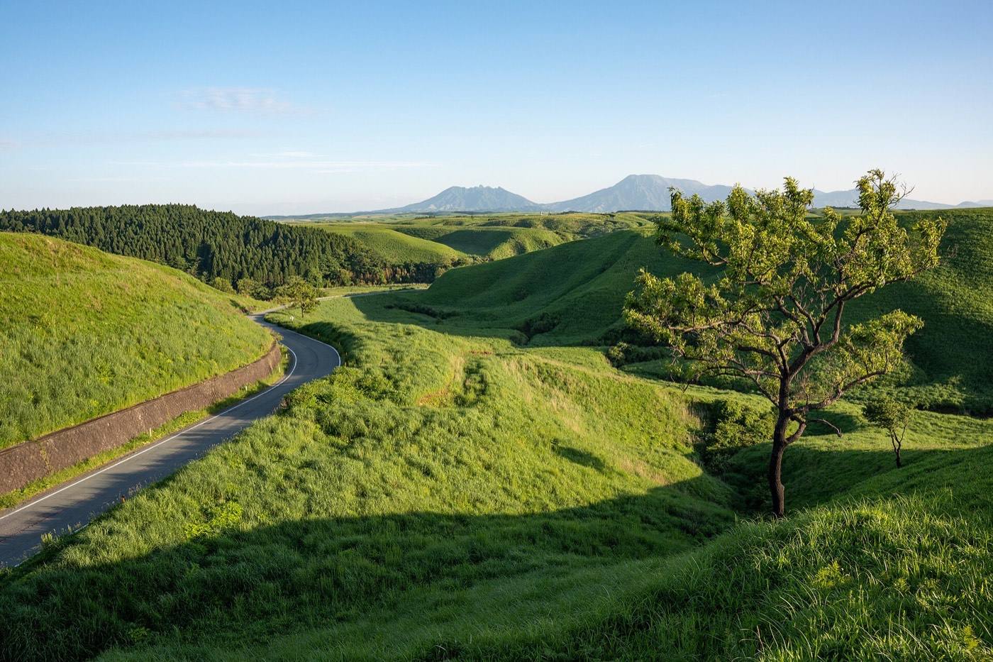
Drive this one for the ground itself. Kyushu has the largest caldera in the country with towns living inside it, a range of volcanoes with grassland over the top, a city where steam comes out of the pavement, and a working volcano you reach by ferry. All of it is between an hour and three hours beyond the nearest station, which is why the van makes sense here.
Pick up in Fukuoka and clear the city inside the first hour. The route then stays in open country for a week and finishes in Kagoshima. Seven nights: four at RV Parks, three at hotels.
A one-way drop is what makes this route work — you finish in Kagoshima rather than driving back to Fukuoka. If a one-way drop is unavailable, turn the last two days into the drive back north along the same highway, which is worth doing twice.
Collect the van in the morning and head south-east. Sleep at an RV Park in Oita prefecture; pick one attached to a bath house, because the first night is the one you want a bath on.
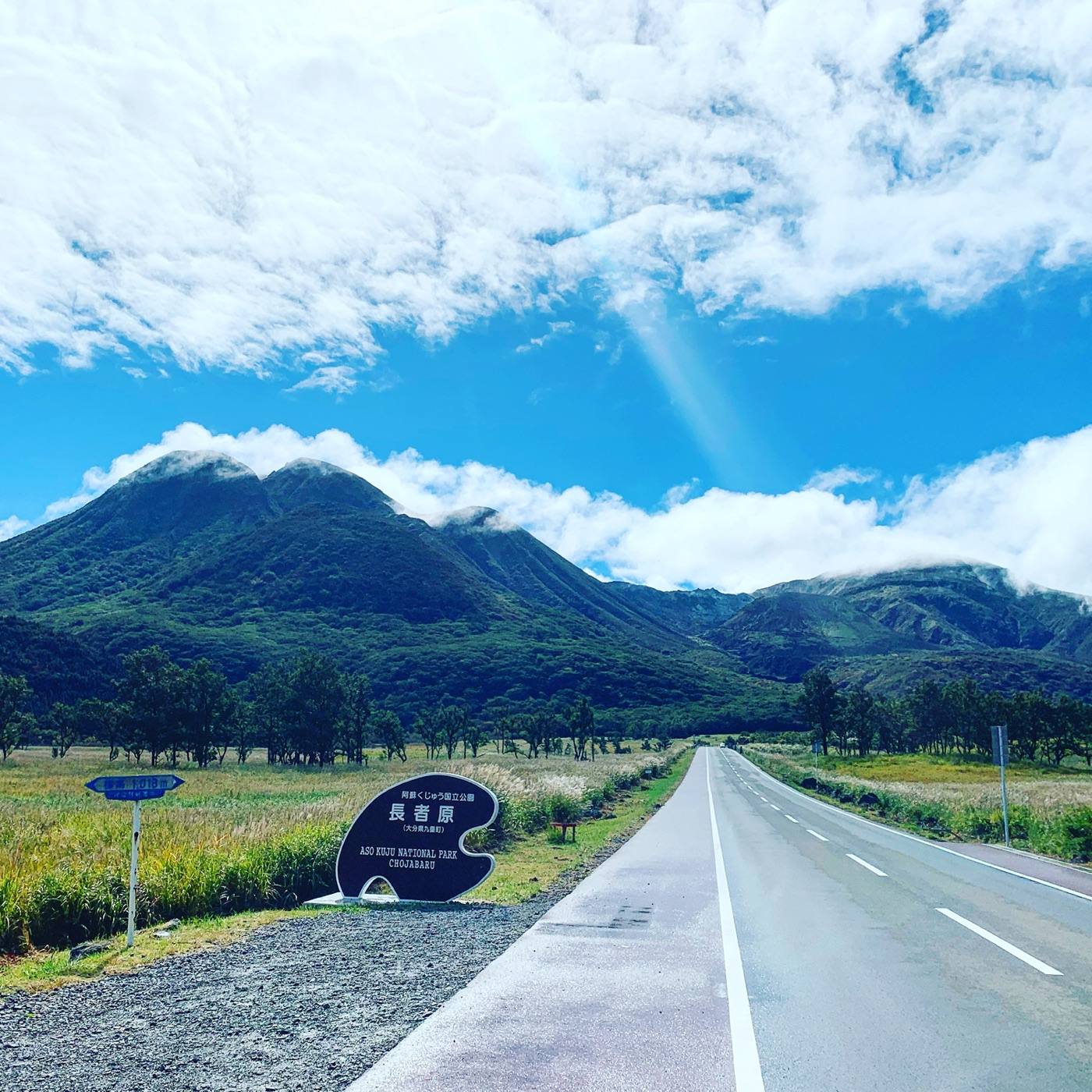
Drive the Yamanami Highway slowly and stop often. It runs for about sixty kilometres across open grassland between volcanic peaks, with almost nothing built along it. This road is the reason to bring a campervan to Kyushu.
Walk the boardwalk across the Kuju moor in the afternoon. It is level, it takes an hour or two, and it is the kind of place a train cannot reach. Sleep at an RV Park near Beppu or Yufuin.
Spend the morning on the circuit of coloured pools — one cobalt blue, one the colour of rust, one grey mud that bubbles. Then take the hillside baths in tiers above the town for sunset, looking down over the roofs to the bay.
Book a hotel for tonight. Third night, a proper bath, a bed and a washing machine. Oita in detail
Be on the caldera rim at Daikanbo before 08:00. On a still autumn morning the whole bowl fills with cloud and the five peaks stand out of it. Sleeping on the caldera floor is what puts you there in time — from the city you arrive after it has cleared.
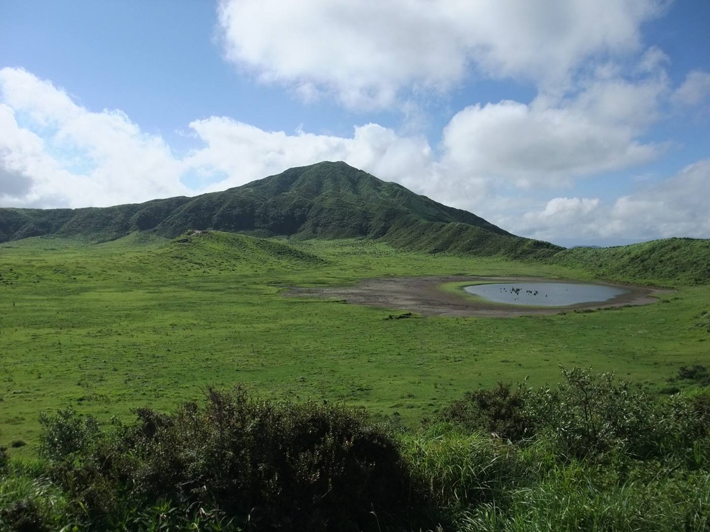
Then drive to the grass bowl at Kusasenri and walk out into it, and stop at the small green cone of Komezuka on the way. Sleep at an RV Park on the caldera floor and look up; there is very little light out there. Mt. Aso in detail
Row a boat to the foot of the waterfall. You take out a small rowing boat yourself and sit under the fall with columns of rock closing over you. Arrive when the boats open — numbers are limited and they often sell out by the middle of the morning. Sleep at an RV Park towards Miyazaki. Takachiho Gorge in detail
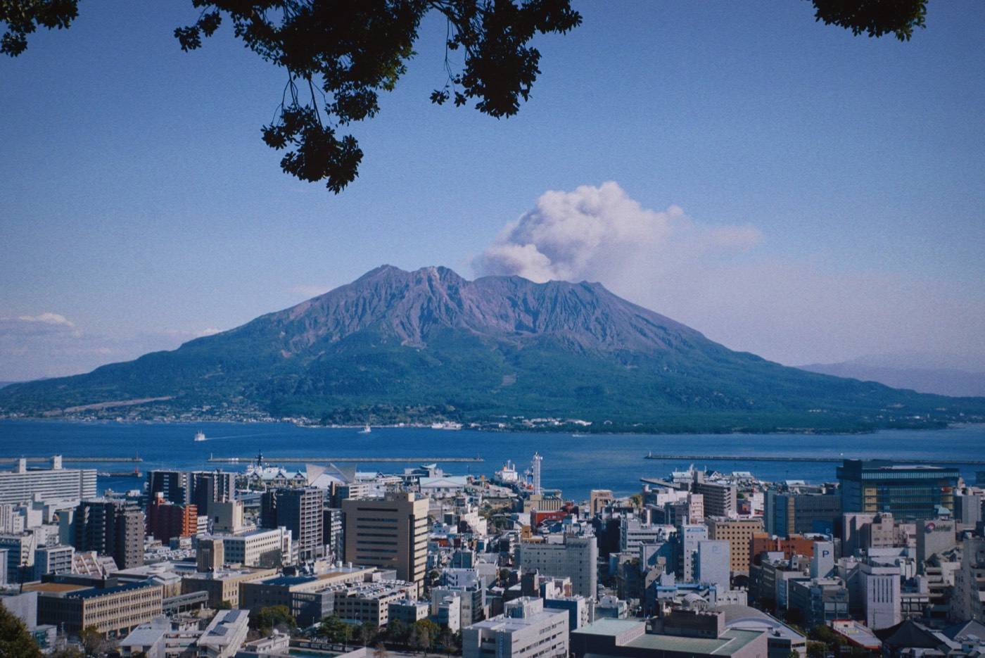
Cross to the volcano with the van on the ferry. The crossing to Sakurajima takes about fifteen minutes and runs around the clock — ask at the terminal, and keep the alternative of parking on the city side and crossing on foot.
Drive the lava road and use the free foot bath on the island shore, a hundred metres long, facing the water. Sakurajima in detail
Be buried in the hot sand on the beach. Attendants dig you in and the heat comes from the ground rather than from water. Then look at the cone of Kaimon across the bay.
Take a hotel tonight and use it to pack and wash. Returning a van tidy is easier from a hotel than from a car park.
Fill the tank before you reach the branch and allow an hour more than you think for the handover. Fly out of Kagoshima, or take the shinkansen north.
A place can be better known than the prefecture it sits in. Use the prefecture pages below to work out where to eat, where to stay, how to get around and who to call.