Which prefecture is this in?Where to plan the rest of your trip
A place can be better known than the prefecture it sits in. Use the prefecture pages below to work out where to eat, where to stay, how to get around and who to call.
Mountains, lakes and highland, starting from Tokyo. Leave the city early on the first morning and stay in open country for five nights: three at RV Parks, two at hotels.
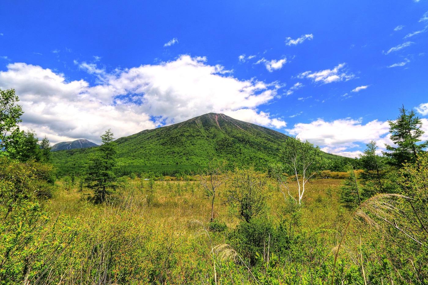
Take this route if Tokyo is where you land and the mountains are what you came for. Within three hours of the city: cedar forest with a shrine in it · a marsh at 1,400 metres crossed by a boardwalk · a hot-spring town built around running water · one of the highest roads in the country · Mt. Fuji standing over a lake.
Leave the city early and use the first morning to get north. The roads out of Tokyo fill up later in the day, and once you are past them the route stays in open country. Five nights: three at RV Parks, two at hotels.
Keep Tokyo, Yokohama and Kamakura for days without the van. They are close, the trains are frequent, and a large vehicle in those places becomes a parking exercise. Do the city before you collect the van or after you return it — see the Asakusa and Tokyo Station pages.
Collect the van as early as the branch opens and drive north straight away. Reach Nikko by the afternoon and walk the cedar avenue, which is forest rather than town. Sleep at an RV Park in Tochigi prefecture. Nikko Toshogu in detail
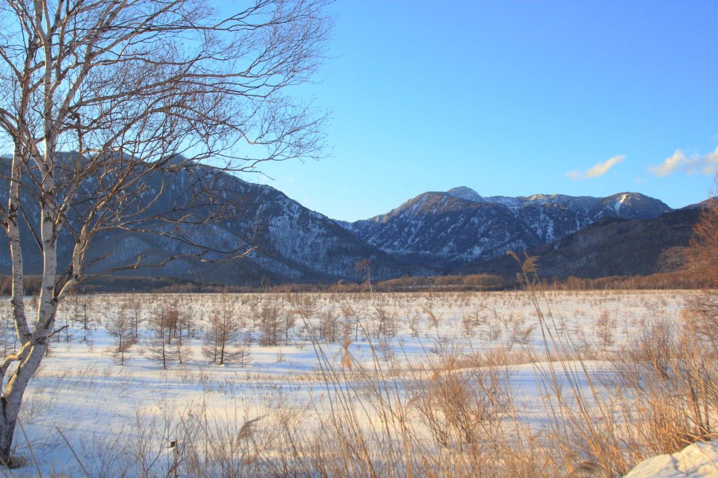
Drive up the switchbacks early and take the lift down beside the waterfall. From the lower platform you are level with a hundred-metre fall rather than looking down on it. Then walk the boardwalk across the marsh at Senjogahara — several kilometres, level, and almost empty.
Sleep high tonight and bring a layer. The lake sits at about 1,270 metres and the evenings are cold even in summer. Kegon Falls in detail
Spend the morning on the highland at Nasu — pasture, cattle and a ropeway up the mountain — then drive west to Kusatsu.
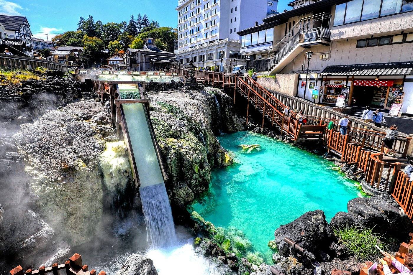
Take a hotel tonight and walk down to the hot-spring source in a cotton robe. The channels of steaming water are lit after dark, they are two minutes from most of the inns, and the walk is the reason to stay in the town rather than at a site outside it. Kusatsu in detail
Drive the road over the pass from Kusatsu. It climbs above the treeline into bare volcanic ground and it is among the highest roads in Japan Check on the morning and keep the valley road as the alternative.
Come down into the highland on the far side and sleep at an RV Park. Fill the tank before the pass.
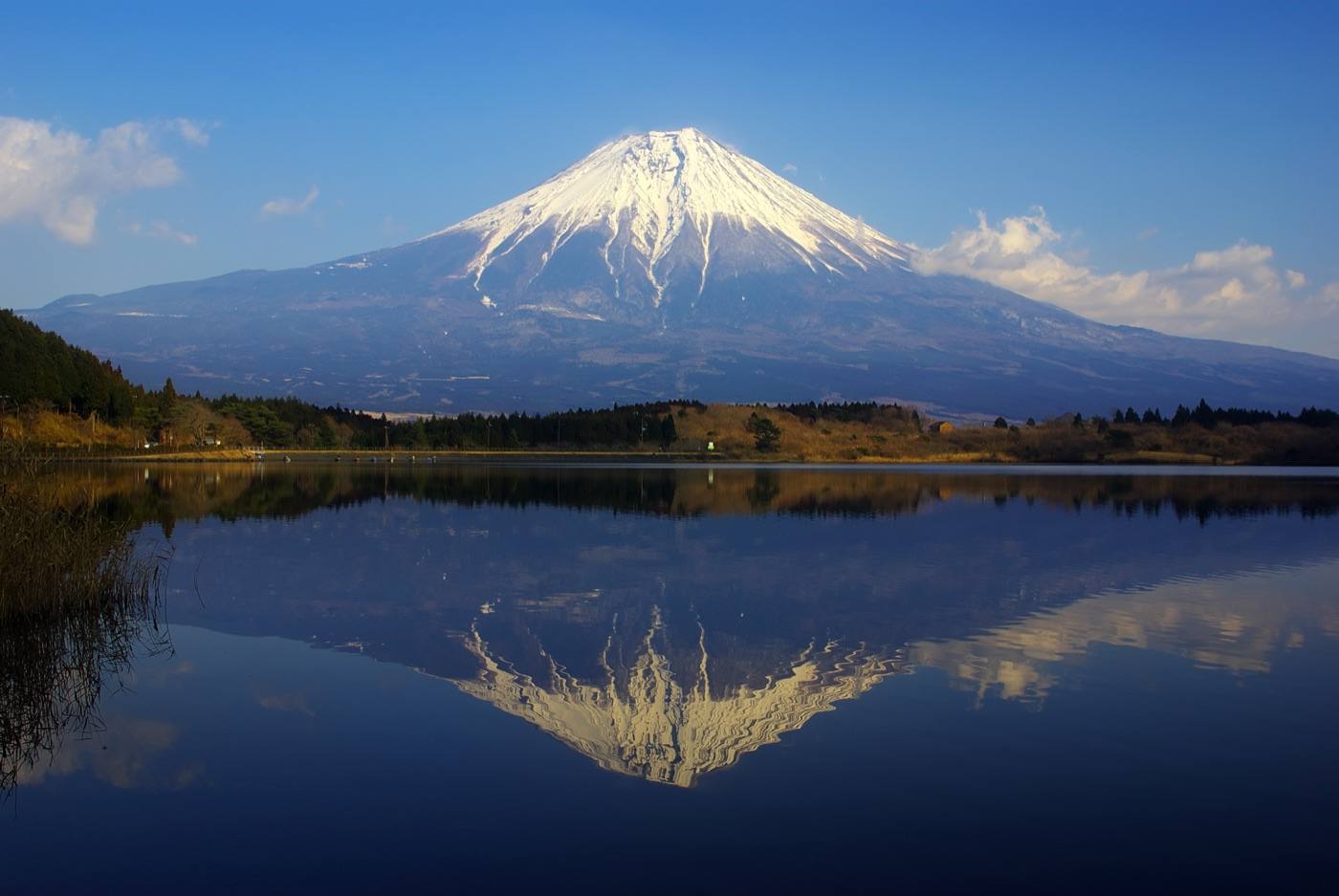
Drive south to the lakes at the foot of Mt. Fuji and park on the north shore. On a still morning the whole cone appears upside down in the water. Sleeping by the lake is what puts you there at first light, before the wind gets up and before the coaches arrive. The mountain can only be seen on days when the weather allows it, and the gardens, the lake and the hot springs are worth the night either way. Mt. Fuji — both sides
Start back before the middle of the morning. The roads into Tokyo are busiest in the afternoon and on Sunday evenings. Fill the tank outside the city, where it is cheaper and the forecourts are larger.
A place can be better known than the prefecture it sits in. Use the prefecture pages below to work out where to eat, where to stay, how to get around and who to call.