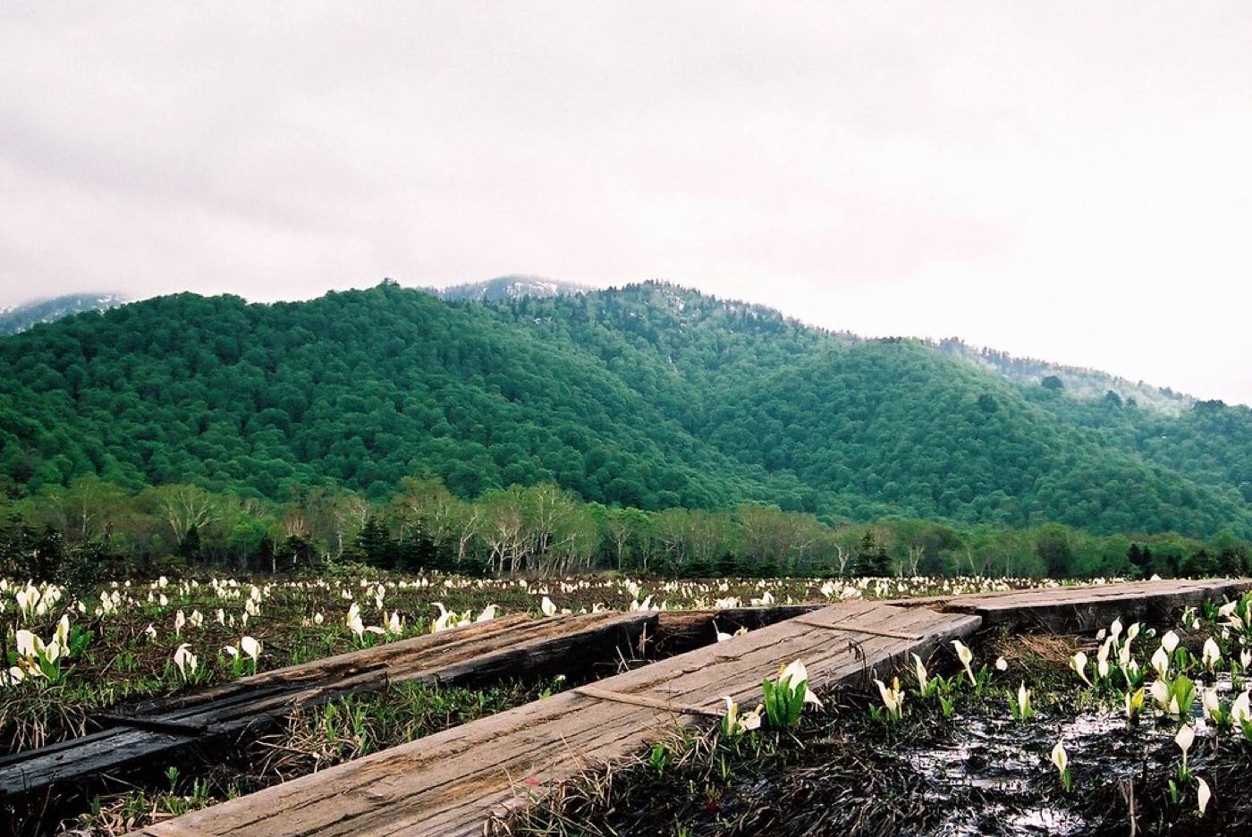
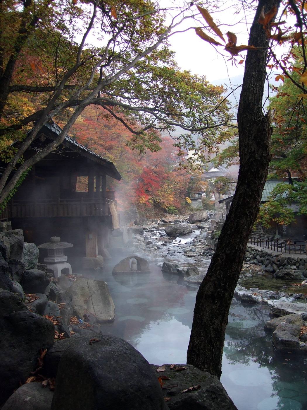
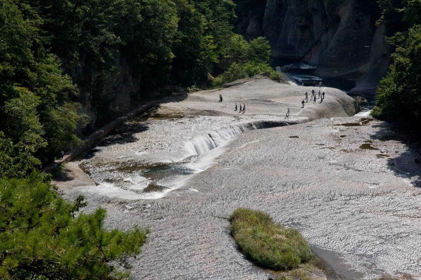
Places to seeWhere to go in Gunma
Start with the first of these. Each is worth half a day.
Gunma is mountains and hot water, and the hottest spring water you can bathe in.
Start with the first of these. Each is worth half a day.
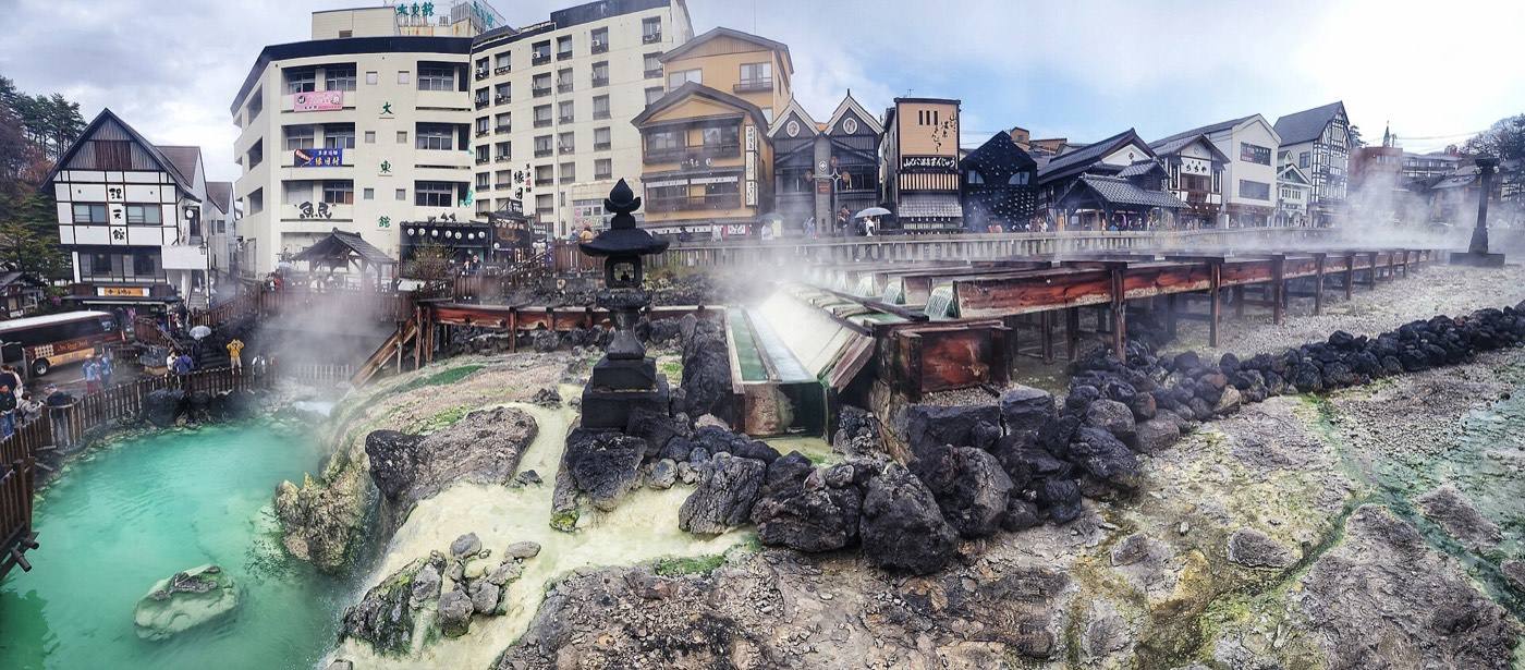
In the middle of Kusatsu is the yubatake — a wooden field of channels in the open air, where the spring water is run along troughs to cool before it reaches the baths. Steam comes off it day and night, and the whole town smells faintly of sulphur. The water arrives at around 50°C or hotter, which is why they cool it this way rather than adding cold water — adding water would weaken it. There is a show, several times a day, where it is stirred with long wooden paddles.
Getting in: No airport — Takasaki Station (shinkansen, 50 min from Tokyo) · Kusatsu by bus from Karuizawa or Naganohara
Pick the season first and the days will arrange themselves.
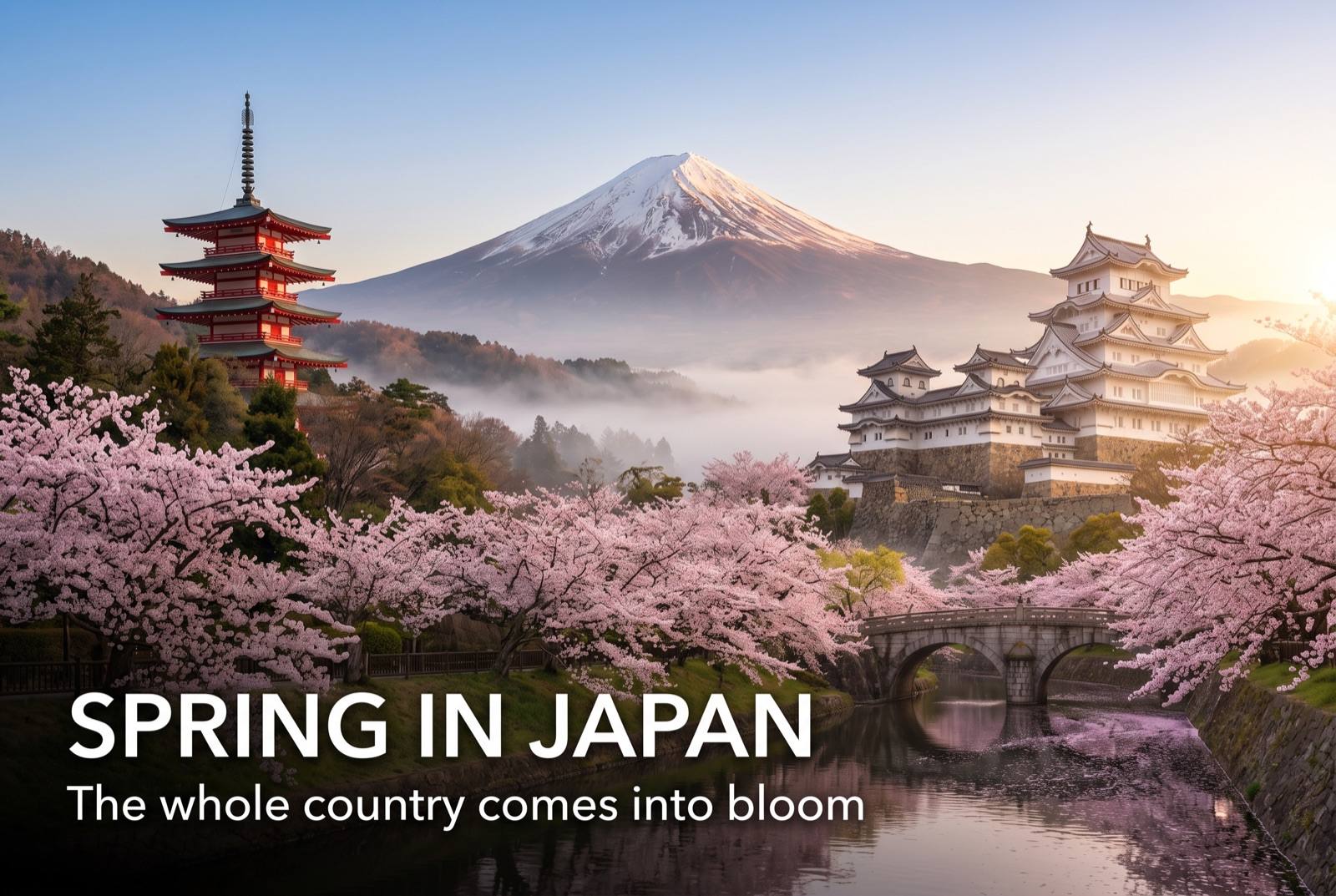
Snow leaves the valleys in April. Fresh green in May, and the highland roads reopen.

Wet in June. Kusatsu sits at 1,200 metres and stays cool through August — a hot-spring town you can bear in summer.
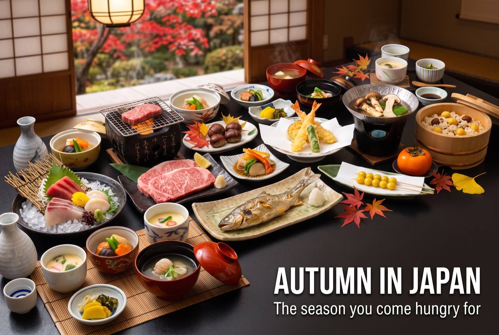
Autumn colour through October and November, and the best walking weather of the year.
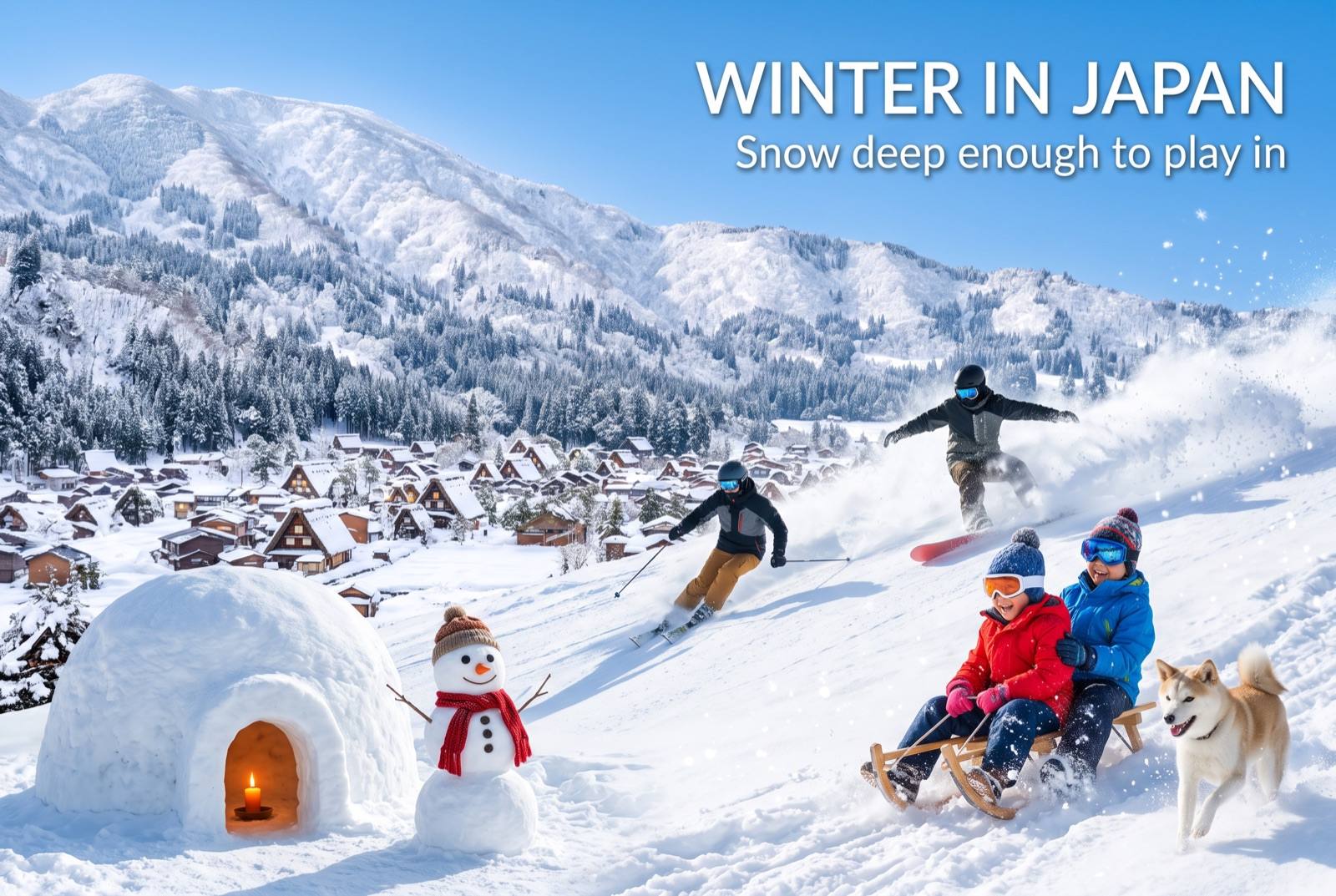
An outdoor bath in falling snow is the point of this prefecture. Ski areas open, and roads may need chains.