Home› Tohoku›Yamagata
Yamadera

Yamagata

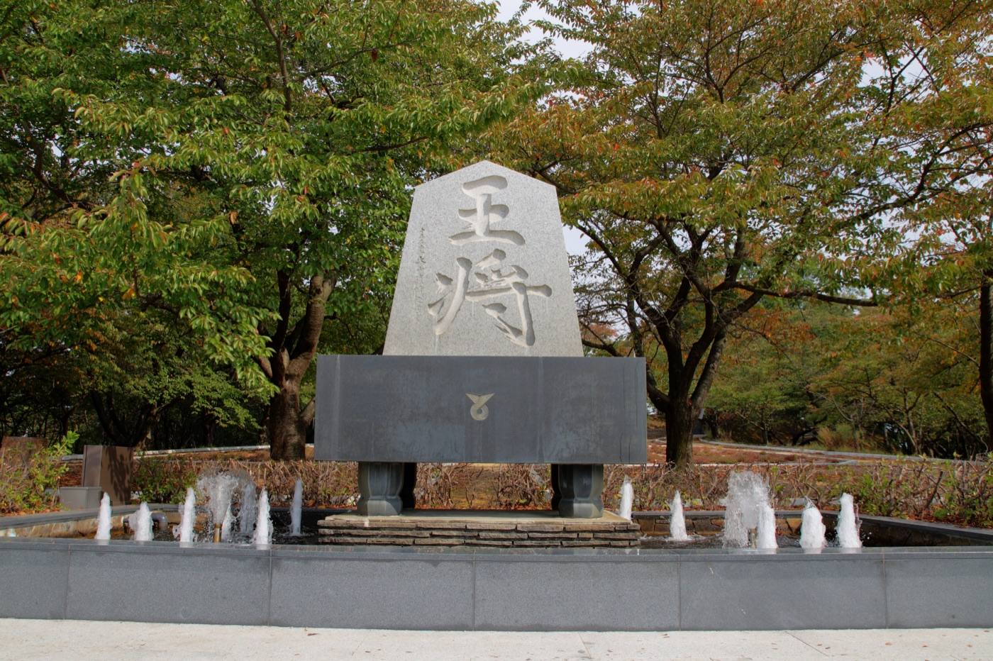
Yamagata is mountains, hot springs and fruit, and two of its places are among the most photographed in the north.

Official site Yamagata — Yamagata Travel in English ›

Places to seeWhere to go in Yamagata

Start with the first of these. Each is worth half a day.
The same five pages on every prefectureEverything about Yamagata

What Yamagata is

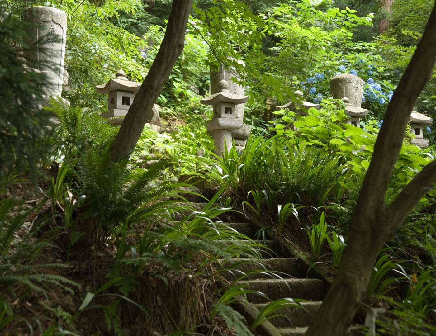
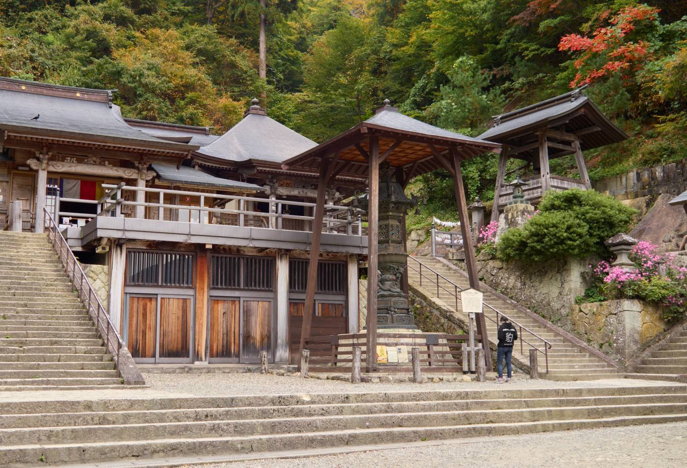
Yamadera is a temple built up a cliff face, reached by 1,015 stone steps through cedar forest. The climb takes about an hour at an ordinary pace, and the small hall at the top looks out over the whole valley.

ArrivingHow to get to Yamagata

Getting in: Yamagata Airport · Yamagata Station (shinkansen, about 2h 45m from Tokyo)

When to comeThe same place, four different places

Pick the season first and the days will arrange themselves.
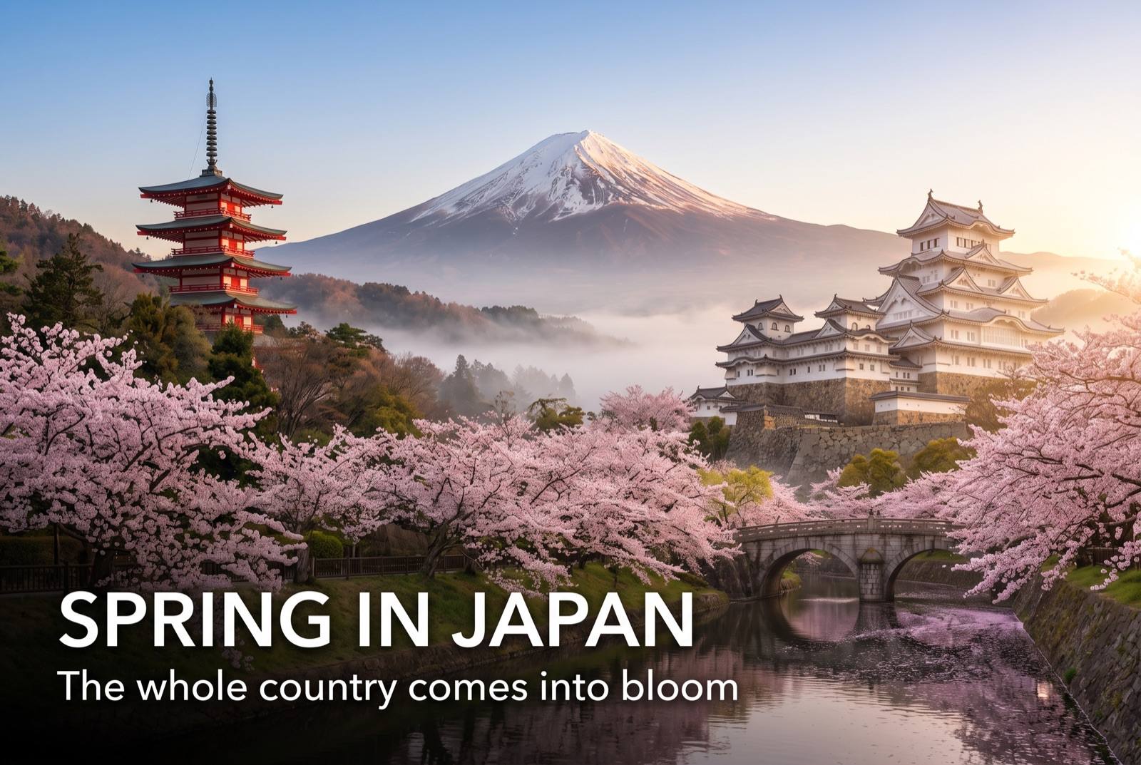
Spring in Japan — seasonal artwork
March – May

Snow into April. Cherry blossom mid-to-late April, and the mountain temples reopen fully.
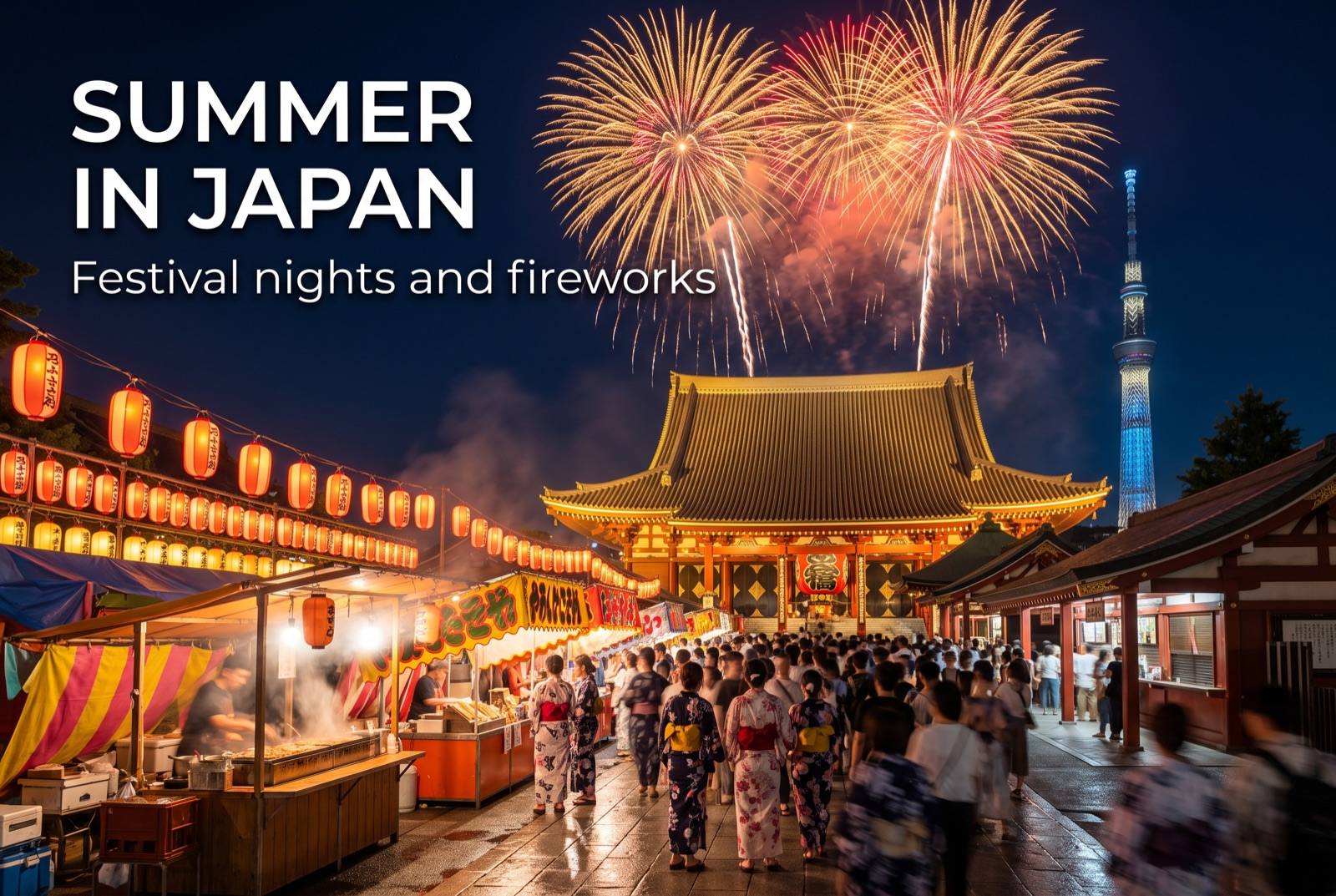
Summer in Japan — seasonal artwork
June – August

Cherries are picked in June and sold everywhere. Cool in the mountains, hot in the basin — Yamagata records some of Japan’s highest temperatures.
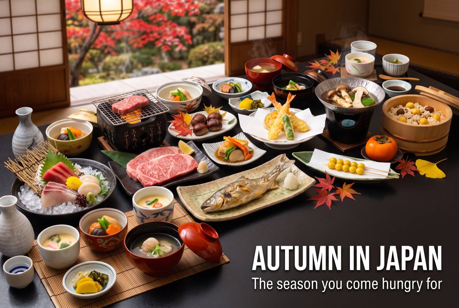
Autumn in Japan — seasonal artwork
September – November

Autumn colour from early October up high. The stone steps in autumn are the best walk of the year.
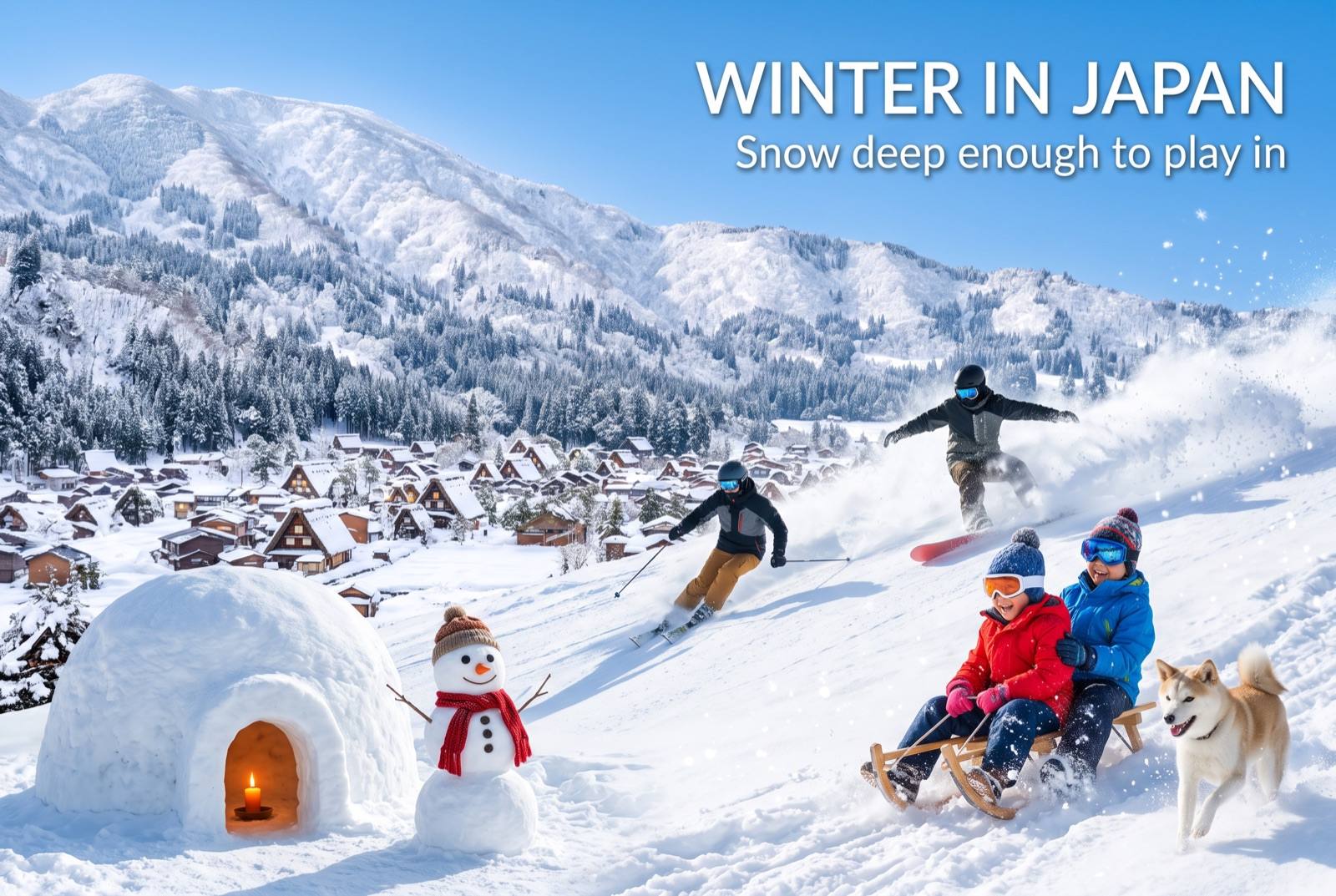
Winter in Japan — seasonal artwork
December – February

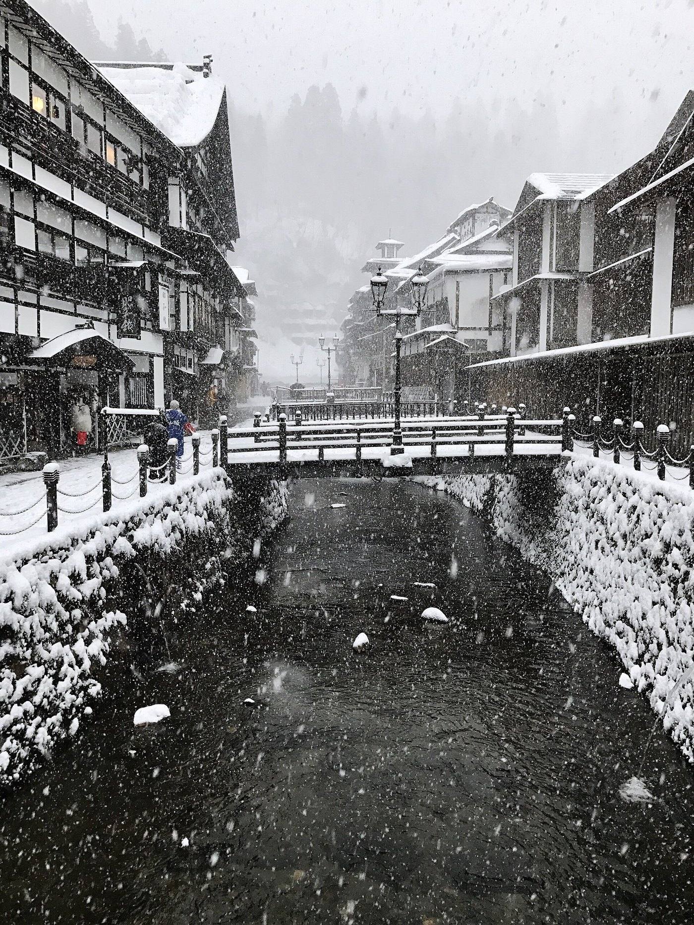
Deep snow. Snow monsters in February, and the gas-lit street under snow. Book far ahead.
Where to go nextNowhere in Japan is far from anywhere

Find it fastEverything in Yamagata

Photo: Yamadera by Chi King (CC BY 3.0), via Wikimedia Commons
Photo: Yamadera by lumoplank (CC0), via Wikimedia Commons — cropped to fit
Photo: Ginzan Onsen by bryan... (CC BY-SA 2.0), via Wikimedia Commons
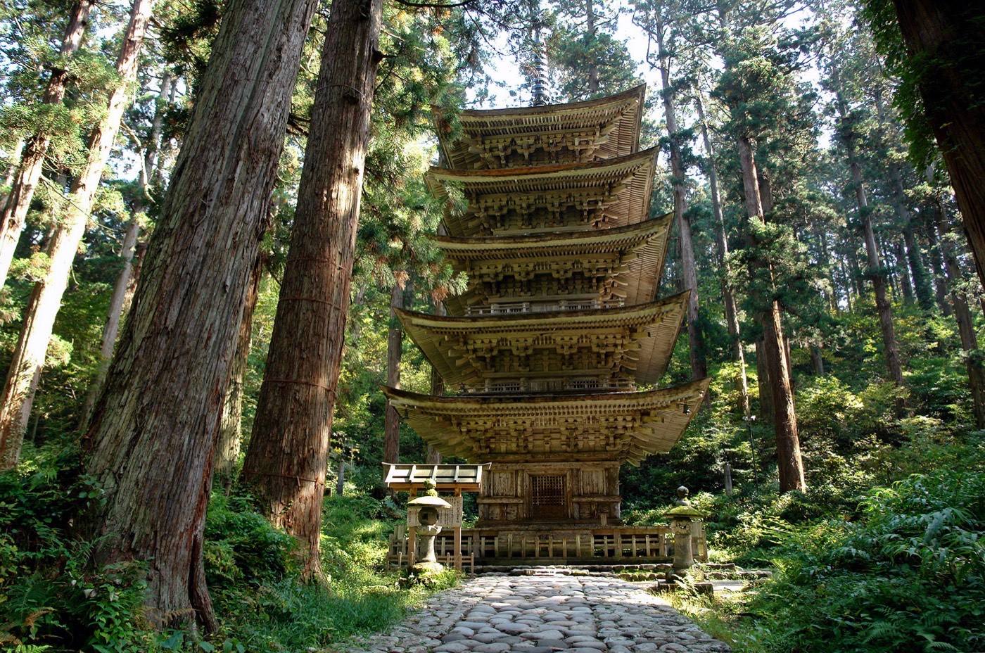
Photo: Mt. Haguro by Crown of Lenten rose (CC BY 3.0), via Wikimedia Commons
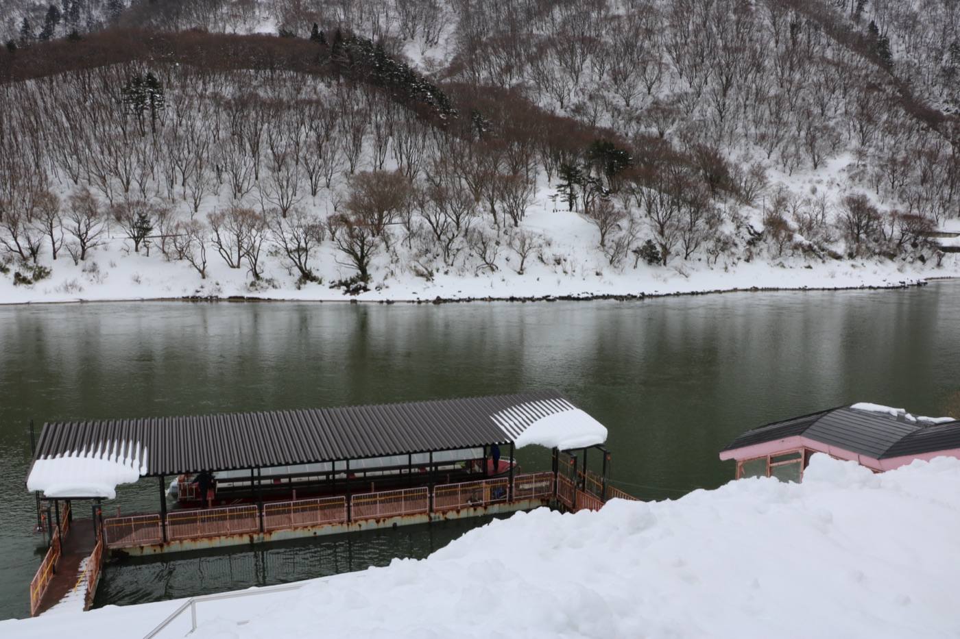
Photo: by 663highland (CC BY-SA 4.0), via Wikimedia Commons
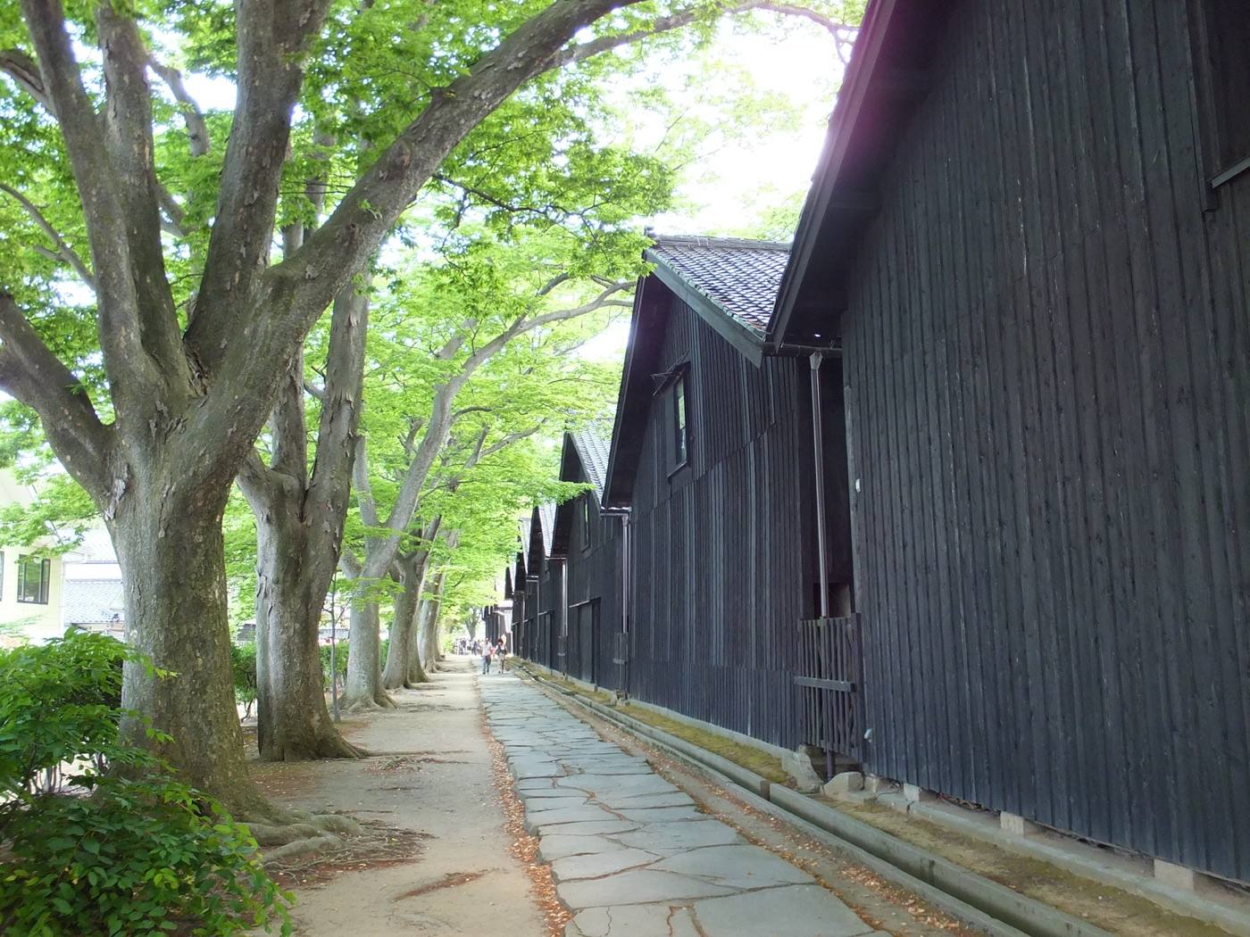
Photo: by さかおり (CC BY-SA 4.0), via Wikimedia Commons
Photo: by 8-Forest (CC BY-SA 3.0), via Wikimedia Commons
Photo: by Fumihiko Ueno (CC BY 3.0), via Wikimedia Commons
Photo credits and licences
The map on this page is drawn for Let's! and is not a survey map.
⚲Map ✉Phrases ⚠Emergency