Home› Tohoku›Fukushima
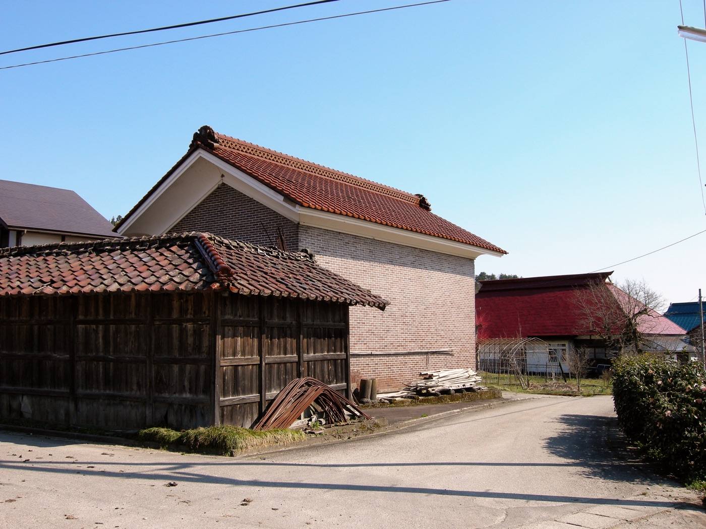
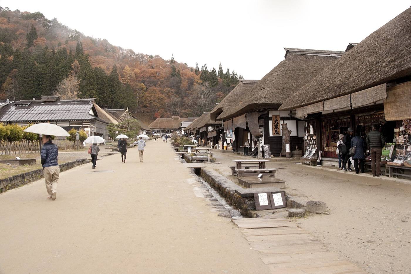
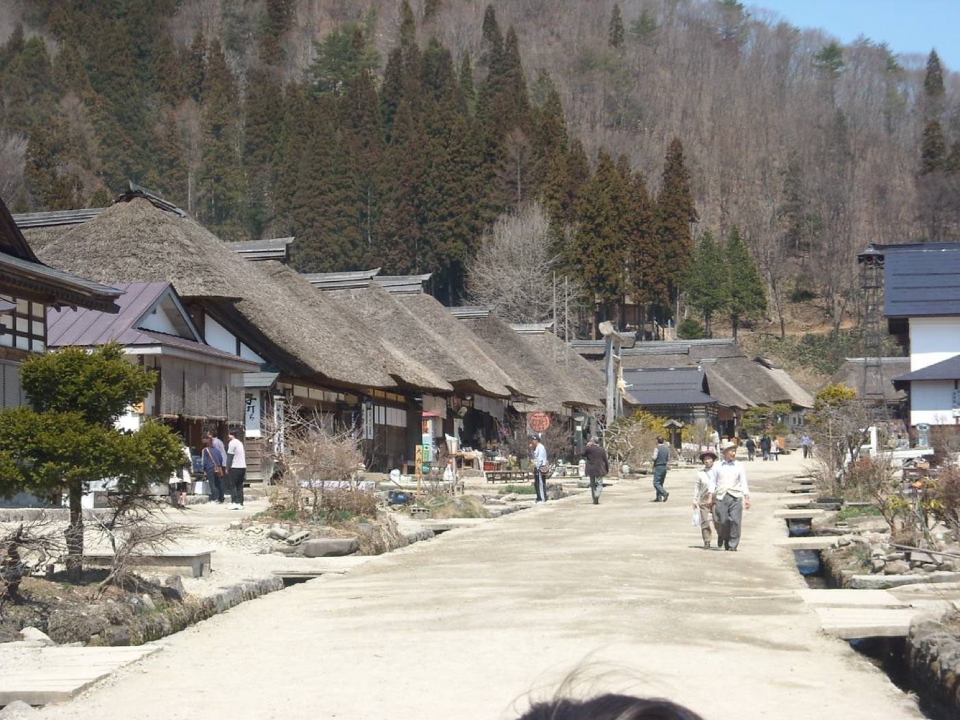
Ouchi-juku

Fukushima

Fukushima is the third largest prefecture in Japan, and the part visitors travel to is Aizu — the mountain basin in the west, an hour and a half inland from the shinkansen.

Official site Fukushima — Fukushima Travel in English ›

Places to seeWhere to go in Fukushima

Start with the first of these. Each is worth half a day.
The same five pages on every prefectureEverything about Fukushima

What Fukushima is

Aizu-Wakamatsu was a castle town that held out to the end of the civil war of 1868, and Tsuruga Castle stands rebuilt above its original stone walls, with red roof tiles rather than the usual grey.

ArrivingHow to get to Fukushima

Getting in: Fukushima Airport · Koriyama or Fukushima Station (shinkansen, 1h 20m–1h 40m from Tokyo)

When to comeThe same place, four different places

Pick the season first and the days will arrange themselves.
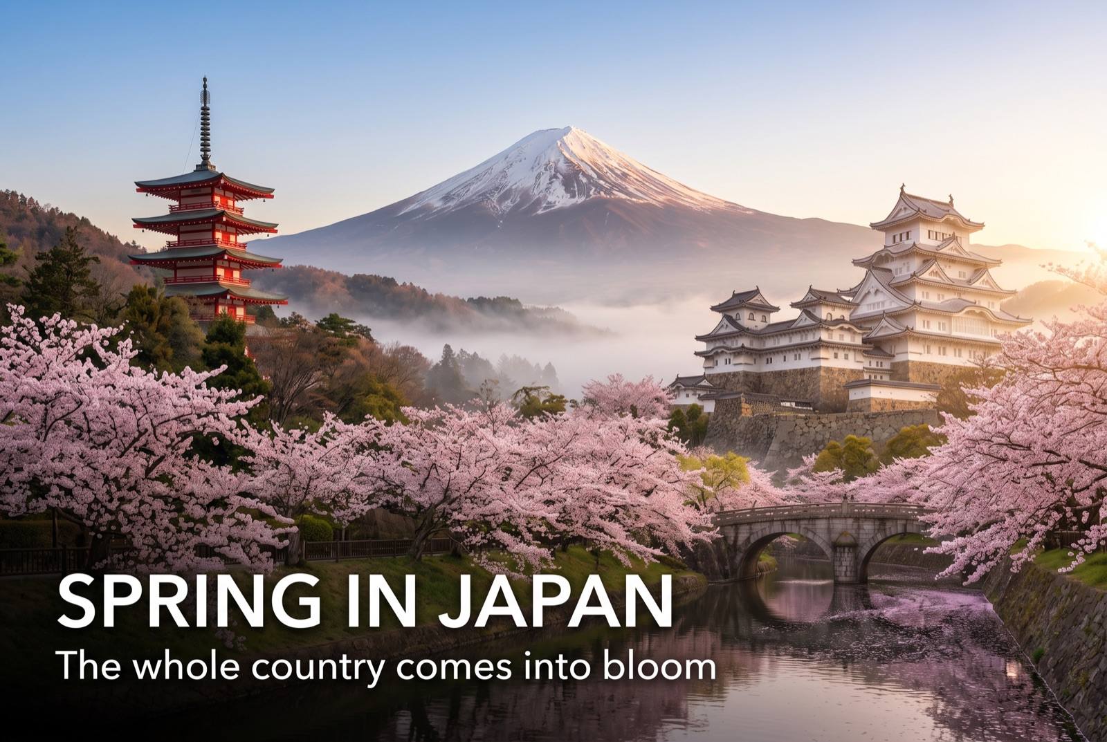
Spring in Japan — seasonal artwork
March – May

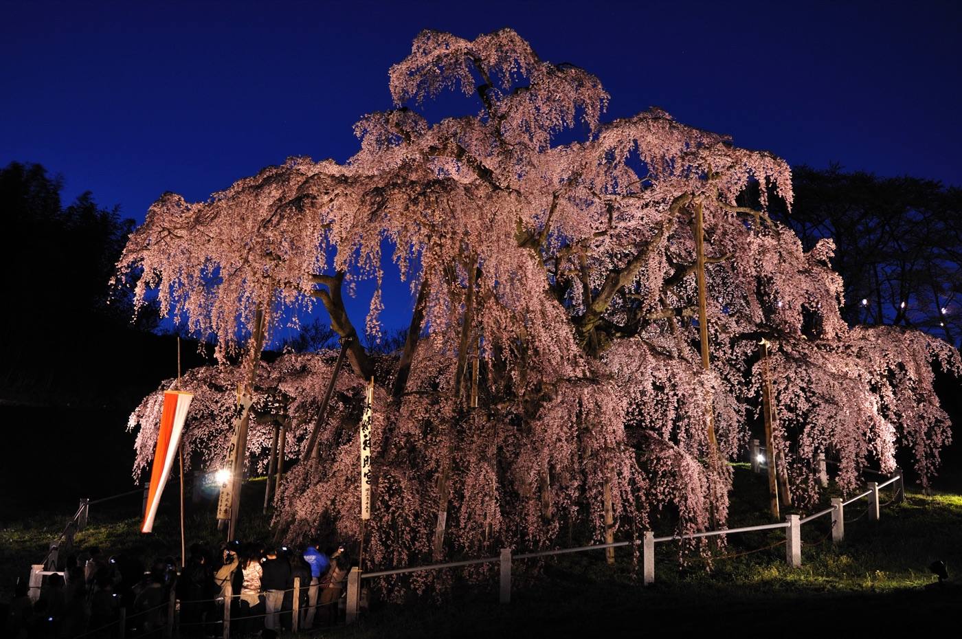
Snow into April in the mountains. Cherry blossom in mid-to-late April, including a famous thousand-year-old tree at Miharu.
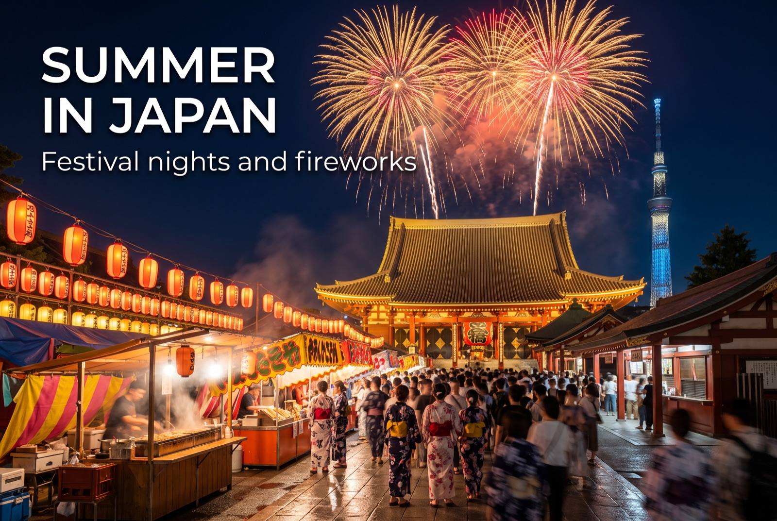
Summer in Japan — seasonal artwork
June – August

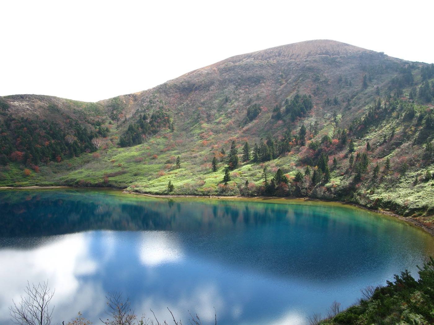
Cool in the Aizu basin, and the ponds are at their most vivid in strong light.
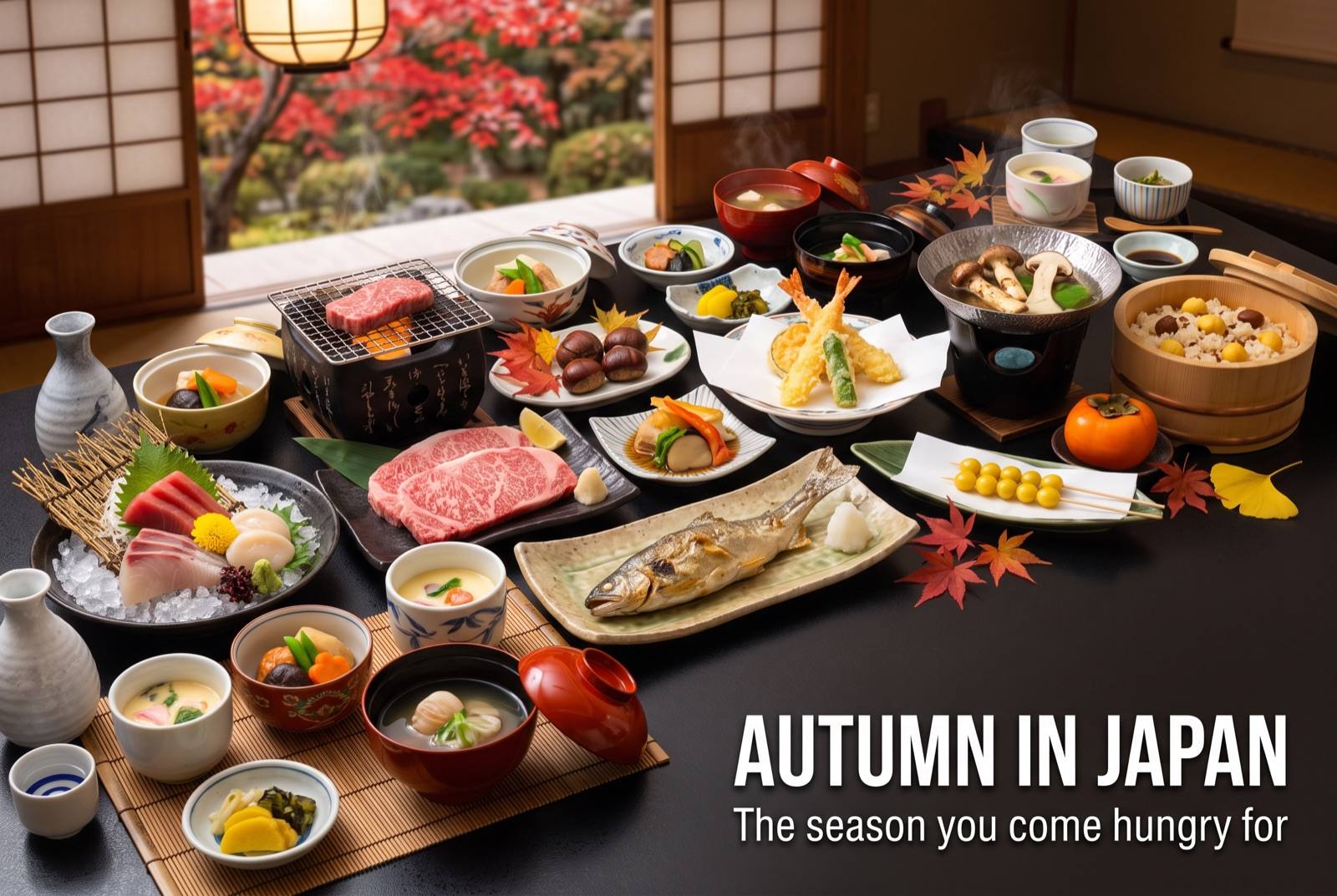
Autumn in Japan — seasonal artwork
September – November

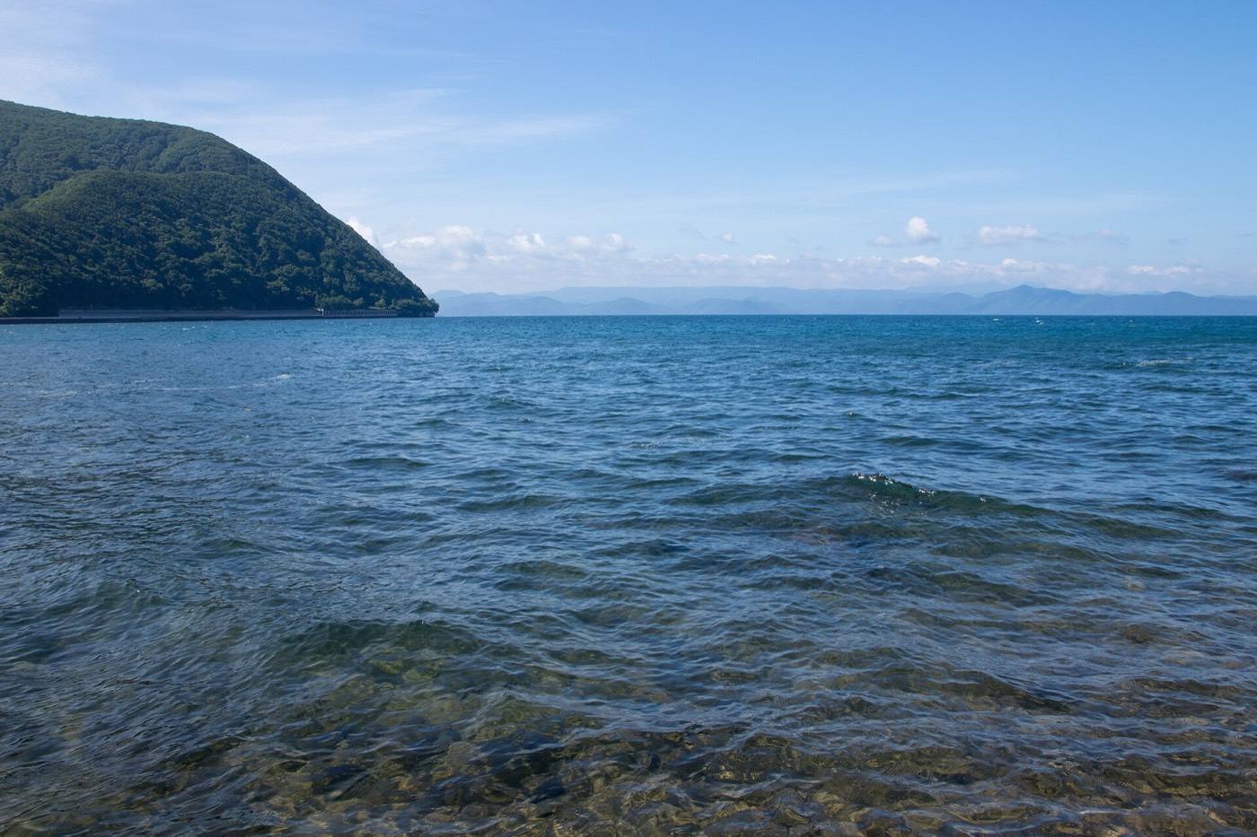
Autumn colour from mid-October around the volcano and the lake. The best season here.
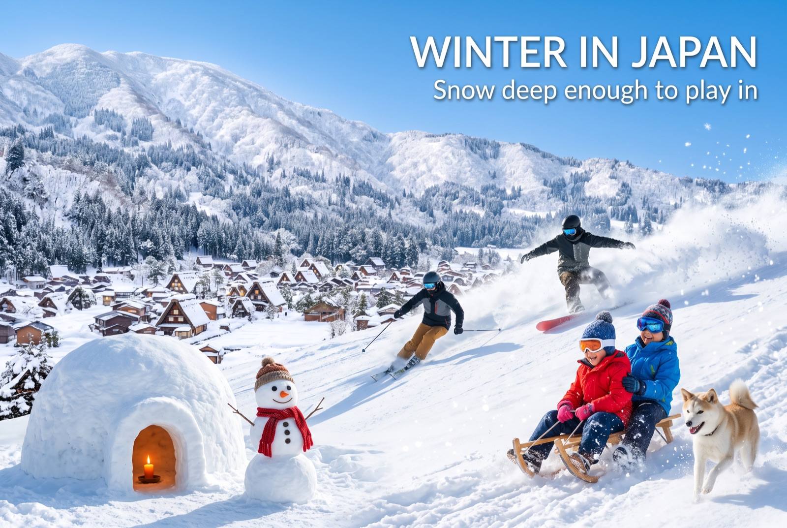
Winter in Japan — seasonal artwork
December – February

Deep snow at Ouchi-juku, which is when the thatched village looks like the photographs. Swans on the lake.
Where to go nextNowhere in Japan is far from anywhere

Find it fastEverything in Fukushima

Photo: Ouchi-juku by Σ64 (CC BY 4.0), via Wikimedia Commons
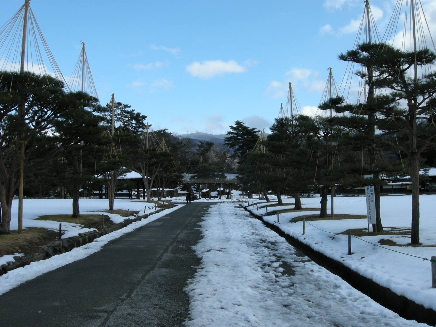
Photo: Ouchi-juku by amg.lincluden (CC BY 2.0), via Flickr
Photo: Tsuruga Castle by contri from Yonezawa-Shi, Yamagata, Japan (CC BY-SA 2.0), via Wikimedia Commons
Photo: Goshiki-numa by Qwert1234 at Japanese Wikipedia (CC BY-SA 3.0), via Wikimedia Commons
Photo: Lake Inawashiro by Σ64 (CC BY 3.0), via Wikimedia Commons
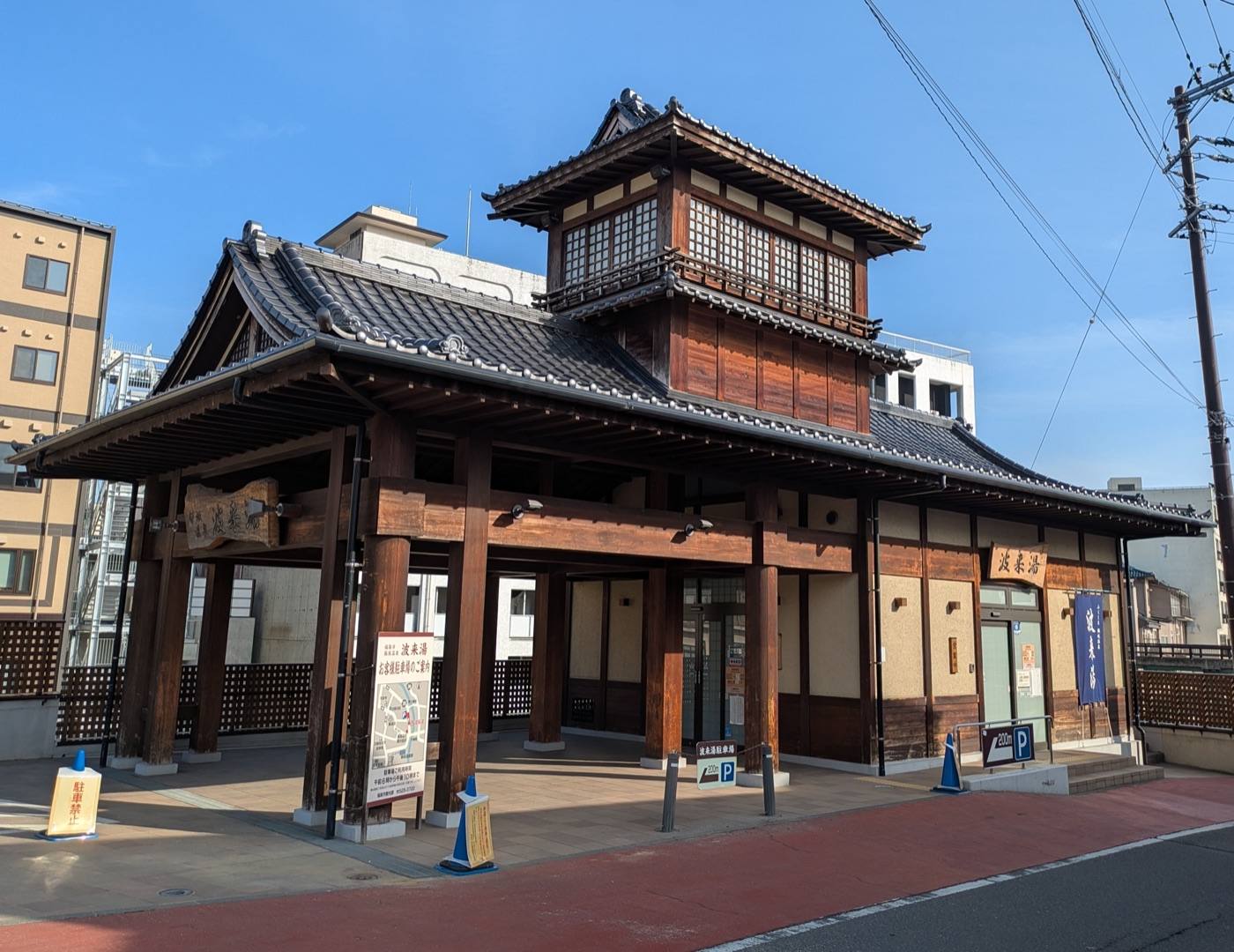
Photo: by Suikotei (CC BY 4.0), via Wikimedia Commons
Photo: by Tadashi Okoshi (CC BY 2.0), via Wikimedia Commons
Photo: by contri from Yonezawa-Shi, Yamagata, Japan (CC BY-SA 2.0), via Wikimedia Commons
Photo credits and licences
The map on this page is drawn for Let's! and is not a survey map.
⚲Map ✉Phrases ⚠Emergency