Places to seeWhere to go in Toyama
Start with the first of these. Each is worth half a day.

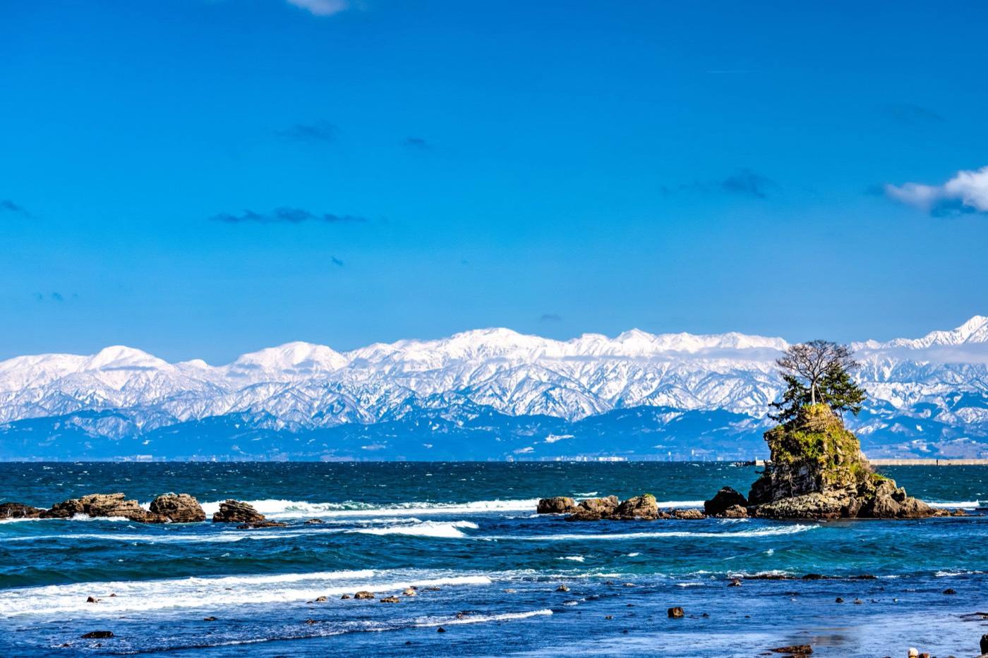
Toyama sits between three-thousand-metre mountains and a deep bay, and the distance between them is short — you can see snow peaks from the fish market.
Start with the first of these. Each is worth half a day.
The reason people come is the Tateyama Kurobe Alpine Route: a crossing of the mountains by cable car, bus, funicular and ropeway, without a car of your own. In April and May the road at the top is cut through snow walls up to twenty metres high, and you walk between them. The route is closed by snow from December to mid-April.
Getting in: Toyama Airport · Toyama Station (shinkansen, about 2h 10m from Tokyo)
Pick the season first and the days will arrange themselves.
The snow walls open in mid-April and last into June. The single best reason to come.

Wet in June. Clear mountain air in August, and the bay is at its calmest.
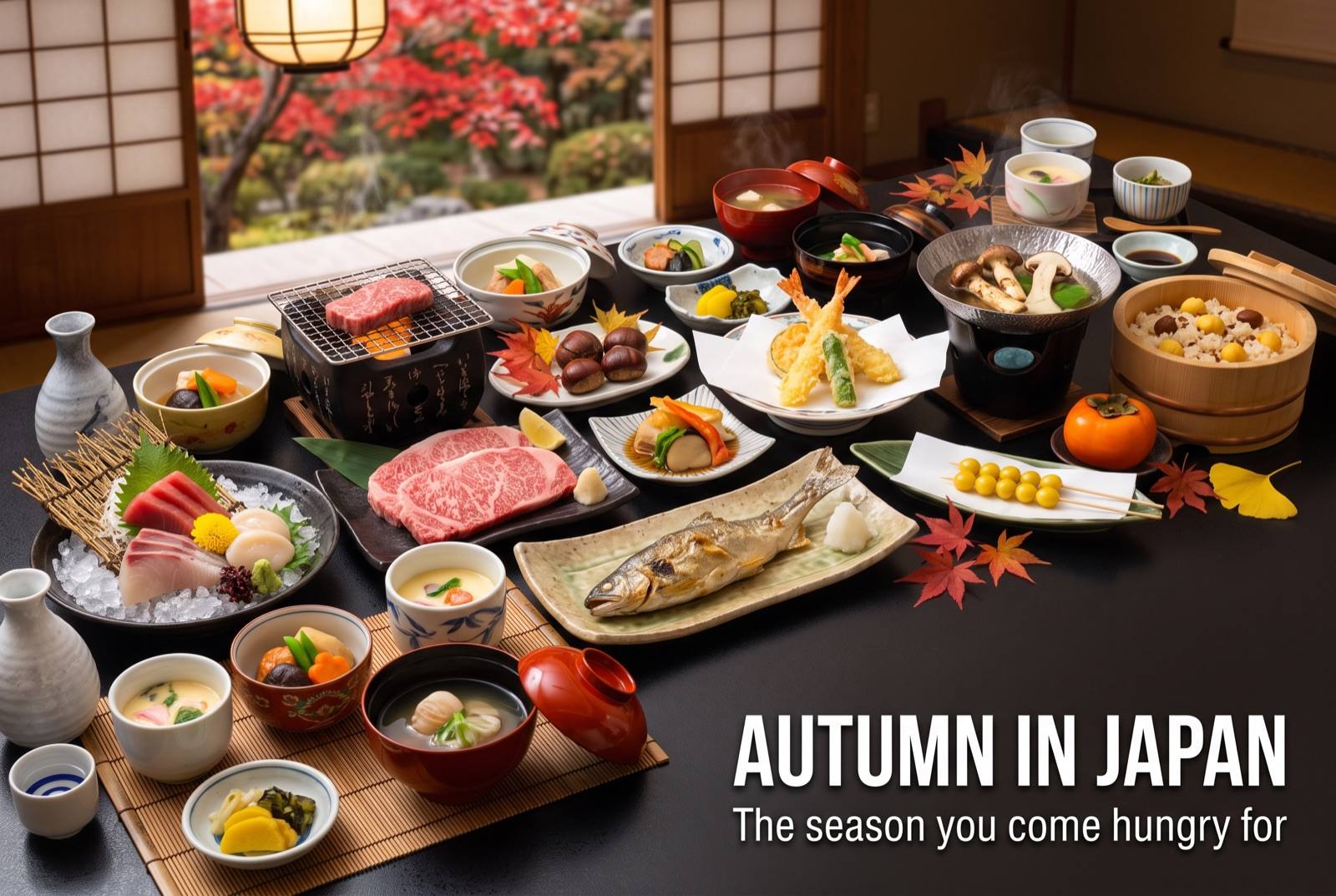
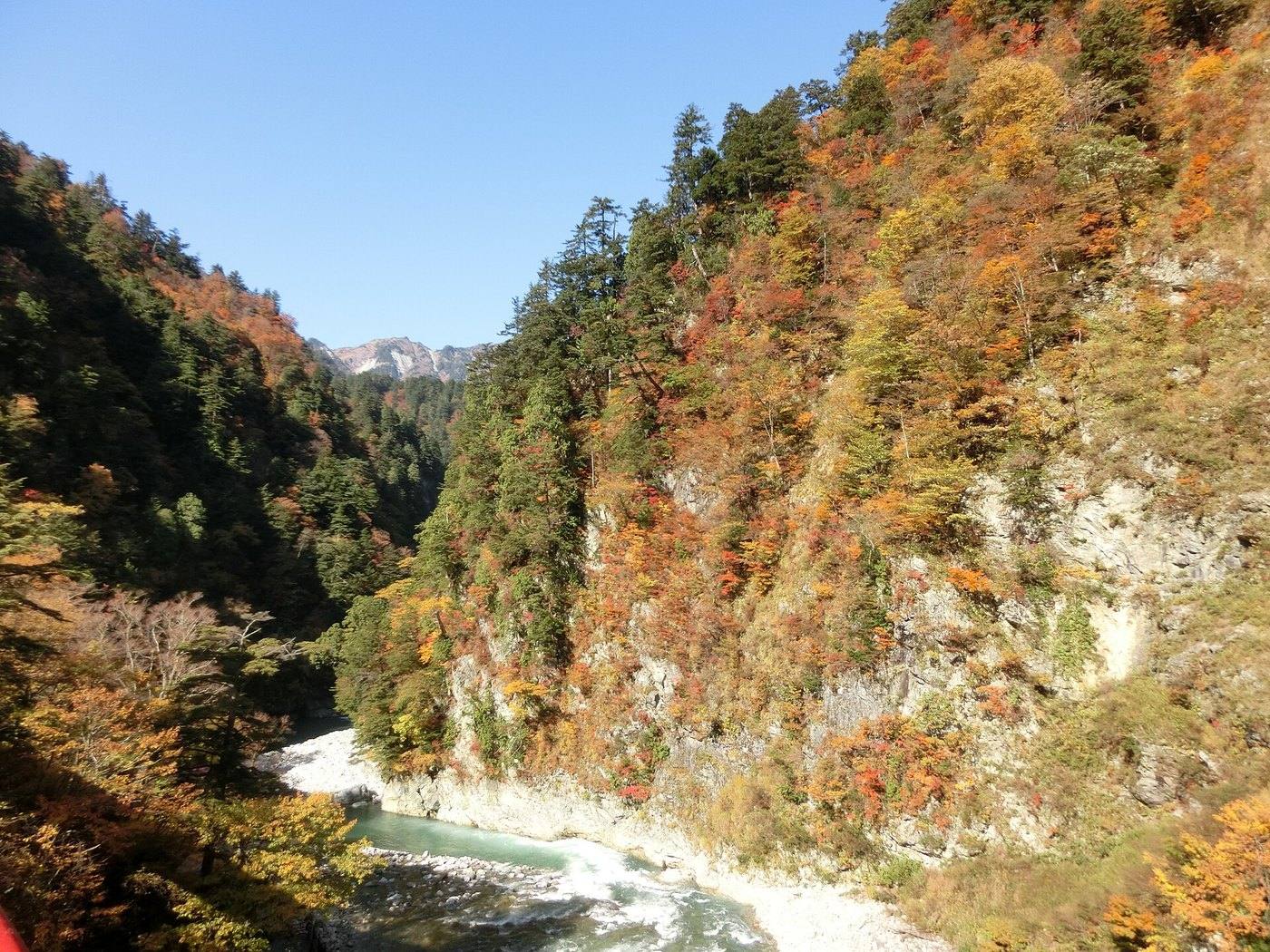
Autumn colour on the route through October, before it closes for snow.
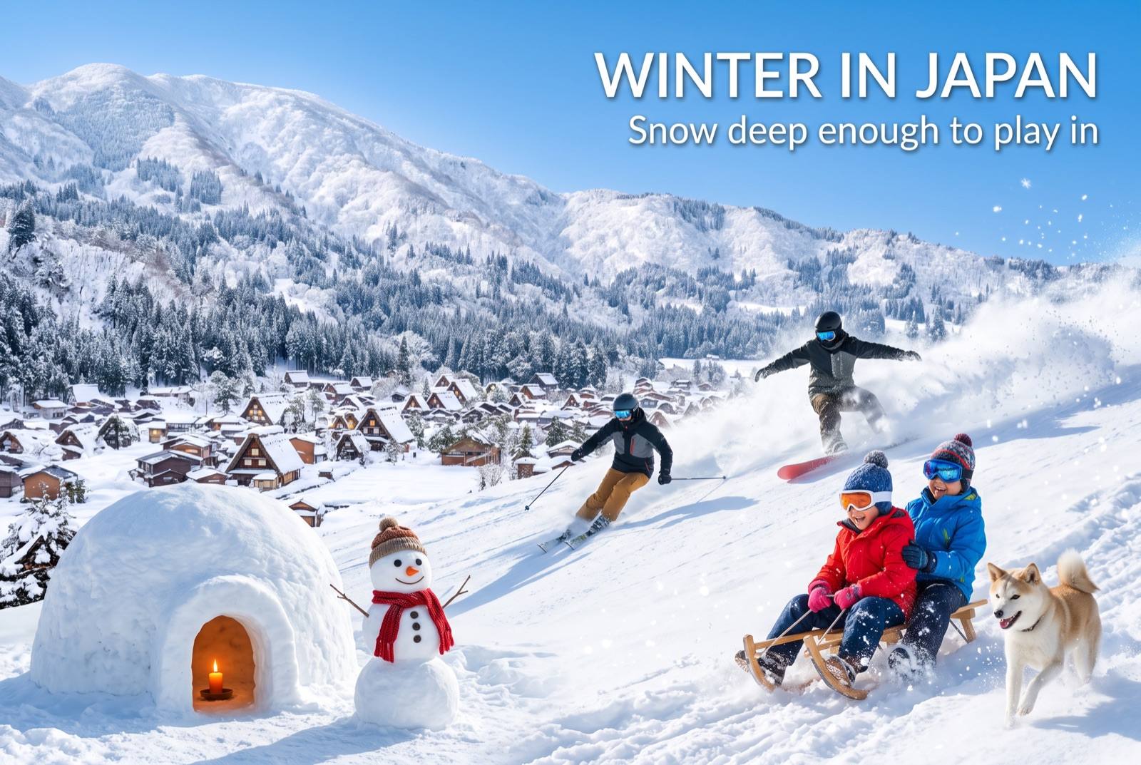
The Alpine Route is closed. The coast view of the mountains is at its sharpest now.