Places to seeWhere to go in Aichi
Start with the first of these. Each is worth half a day.
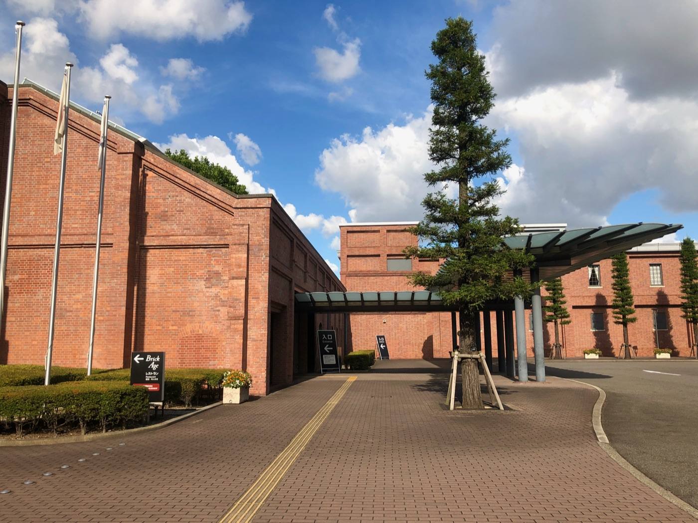
Toyota museumトヨタ産業技術記念館
Looms and cars running, not just parked. Better for children than it sounds.
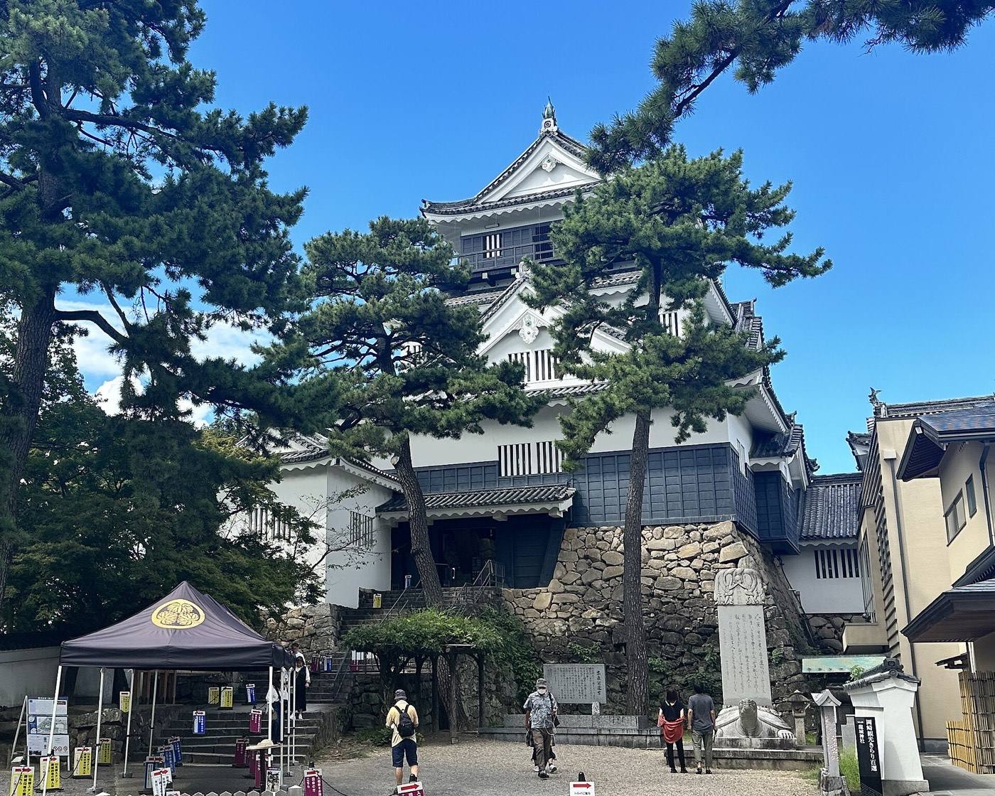
Aichi is a working prefecture — this is where Toyota is — and its city, Nagoya, is where the shinkansen stops between Tokyo and Kyoto.
Start with the first of these. Each is worth half a day.
Looms and cars running, not just parked. Better for children than it sounds.
Nagoya has its own kitchen, and none of it is served properly elsewhere: hitsumabushi, grilled eel over rice that you eat in three stages; miso katsu, fried pork with a dark sweet bean sauce; tebasaki, salted and glazed chicken wings; and thick flat kishimen noodles.
Getting in: Chubu Centrair Airport (about 30 min by train) · Nagoya Station (shinkansen, 1h 40m from Tokyo)
Pick the season first and the days will arrange themselves.
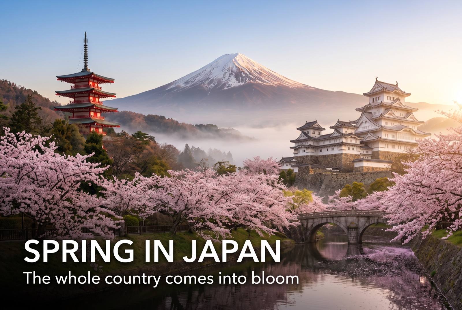
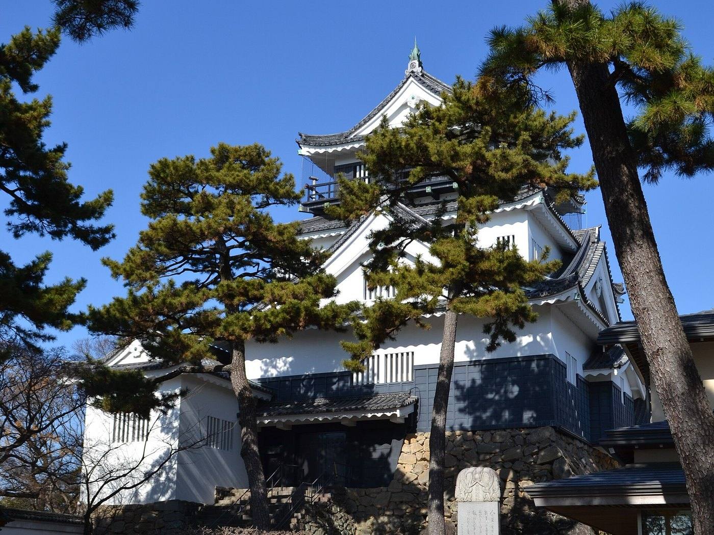
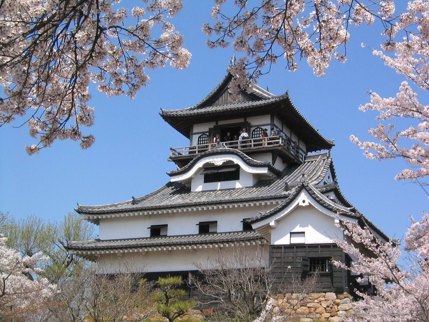
Cherry blossom around the castle in early April. Comfortable, dry weather.

Wet in June. Everything indoors is air-conditioned.
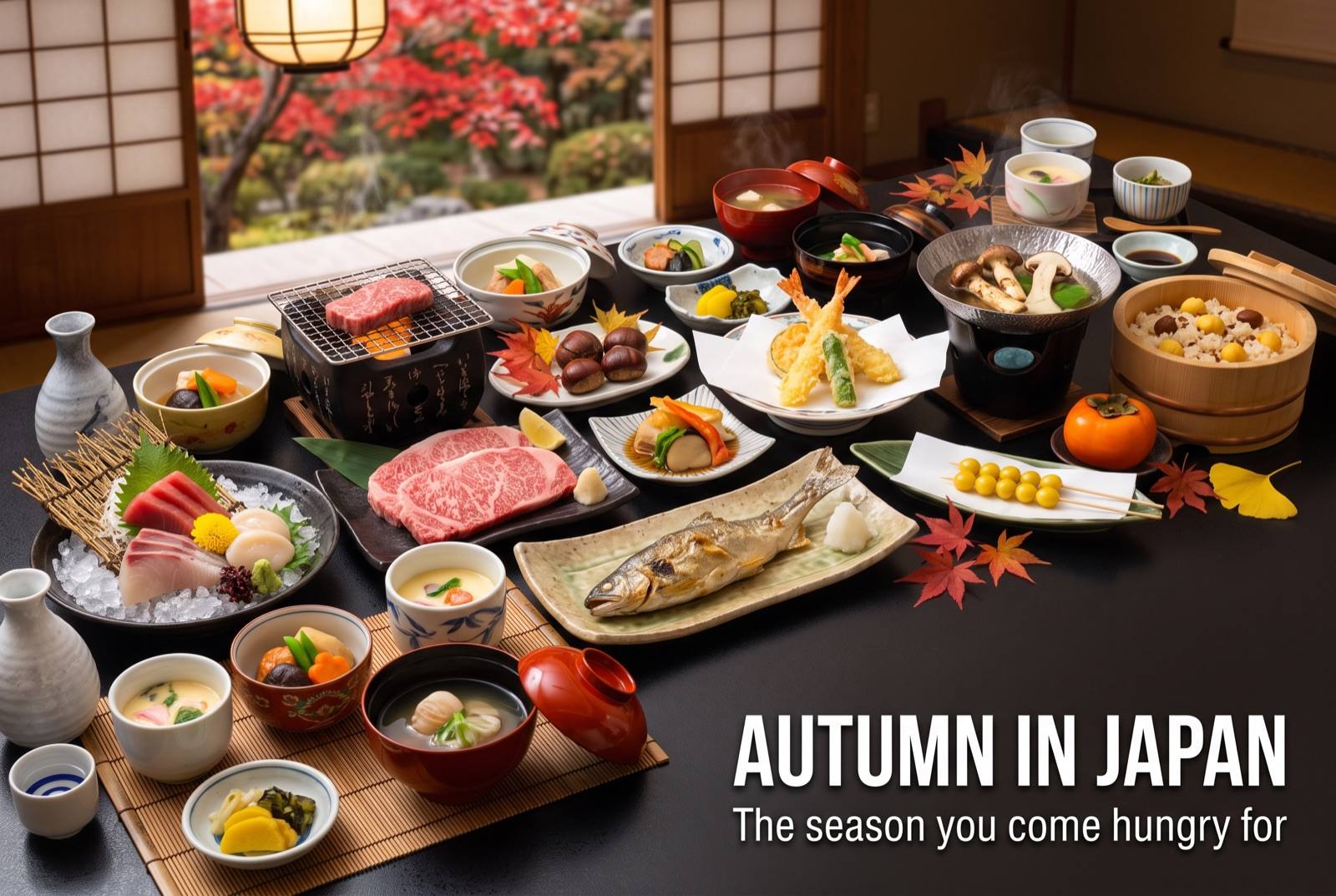
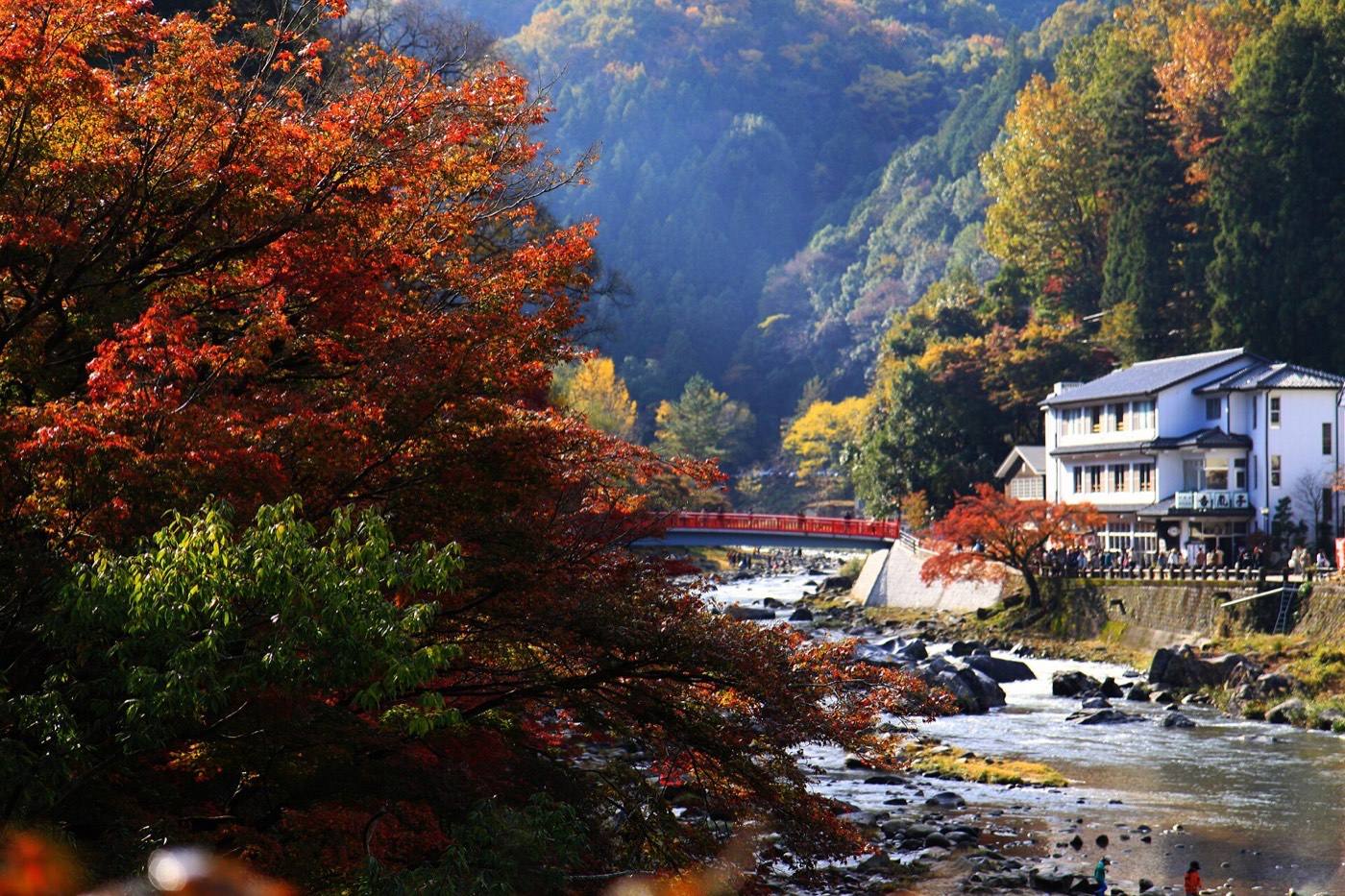
The best season. Autumn colour at Korankei gorge in late November is the local sight.

Cold and dry, little snow. Eel and hotpot season, and the museums are quiet.